Cruising Plans


This is an email Randal wrote to Ken, his brother-in-law and my friend!  Not sure if the Excel sheet will work.  If not I wil try to see what I can do about posting our route.

                                              Saturday, April 19, 2008

 Cruising_Plans

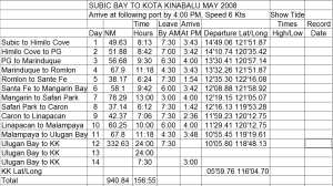
We have two electronic chart programs. The Raymarine chart plotters, one in the pilothouse helm, an E-120, and an E-80 up on the flybridge, both equipped with Navionics electronic charts. These are an integral part of the boat and are hardwired to the radar, GPS receiver, GPS compass, primary and secondary autopilots, depth sounder, and necessary alarms. We also have a large laptop with C-Map charts. I used the laptop software to plan our trip leaving Subic Bay yesterday and then manually input the information into an Excel file so I could include the information important to me, like departure times each day to be able to reach the next anchorage by 4:00 PM. 

This will give us an overview of our trip and how long it will take. Each days trip will have to be manually input into the boats chart plotter where it can be refined and checked once more to make sure I’m not taking the boat over a small island. In the Excel file the “Day” column represents travel days not consecutive days. We intend to lay over in Puerto Galera long enough to get our scuba diving certification for example. We don’t know what calendar days these will be so I have left the tide column blank until I find out.

I made nearly this whole plan not knowing if most of the anchorages are suitable or not. We have been to Hamilo Cove, Puerto Galera, and Marinduque, but the rest were just based on what the chart looks like. Before this is locked in concrete I will consult with fellow cruisers, my cruising books for the Philippines, and see if I can figure out how to use Google Earth to look at the harbors.

Then there is the weather. Direction of the prevailing wind/waves has a strong presence in passage planning. The veterans do it instinctively because here at least the prevailing wind comes from mostly two directions, the NE monsoon and the SW monsoon. The NE monsoon comes during the Northern Hemisphere’s winter and the SW monsoon comes during the summer. The SW winds bring rain almost everyday and the NW winds bring drought. In trip planning you want the wind behind you are at least on your rear quarter if possible, certainly not on your bow where waves will build and gives you a hobby horse ride which is only fun for a short time. Of course if you’re going from point A to point B and the wind is going from point B to point A then there is little choice, unless you can wait, like we are going to do to cross the Indian Ocean.

Of course just because you’re in the middle of the NE monsoon does not necessarily mean the wind will be coming from that direction on the day your boat is where it is. Fronts still move through and land masses which we try to avoid with the boat are disturbing the wind as well, speeding it up, slowing it down, and changing it’s direction. All of this is much more important to sail boats than to power boats. While sail boats get their horsepower from the wind, we diesel crankers are only concerned with comfortability and safety.

I’m going to play with Google Earth for awhile now and might even print the anchorage pictures and put them on my plan clipboard. Some of those aerial pictures show the channel and the shallows better than the charts do.

Footnote: Ruth asked me to send this to her as well to see if it is worthy of posting on her blog.

Footnote 2: Passage planning is very much like planning life’s journey. The best laid plans can be set adrift in the event of a typhoon; but only if you don’t plan for a typhoon, which I     

                     have.

Randal

Ruth Johnson

DoraMac


El Kabayo Falls (Horse Falls)

El Kabayo Falls (Horse Falls)   Not really a good name if you think about it….

Carol wanted my opinion of the local riding stable. I had spent a year (1978) working in the stables at Lake Minnewaska near New Paltz, New York.  I was living with my friend Sheila at the time and when I left to go to library school she had to have her couch cleaned because it smelled like horses.  And  I once had owned a horse and my niece has a horse I helped care for….but I wouldn’t call myself an expert by any means.  But when we saw the guides leading several riders off to some adventure, the first rider’s stirrups were way too short and the second rider’s were way too long… and our friend Audrey later told me that many of the horses are not so well cared for because the stable doesn’t make much money so there is no money for good care.  This, unfortunately,  doesn’t just happen in the Philippines.  Luckily at Minnewaska, we babied the horses while the hotel fell to the ground…almost literally.  But some of the El Kabayo Stable horses looked round and well fed, some looked too skinny and the whole place looked like it was melting in the sun.  I don’t think my riding days are over, but after my pony ride in China, I’m a little more cautious.  So we left the El Kabayo Stable and drove over to El Kabayo Falls named for the stable, I guess since kabayo means horse.  They were actually having mountain bike racing and we had to watch out for bikes zooming passed us.

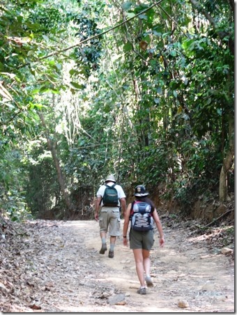
clip_image001  We parked with the crowd of cars there for the bike races and walked into the “jungle” to get to the path for the Falls.

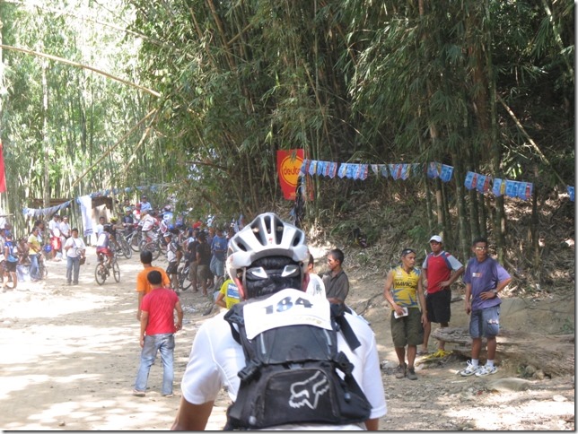
clip_image002  See, real bikers!  But it was hot and dusty and I wouldn’t have really enjoyed this ride though Randal and I did once ride some of the Great Dismal Swamp just after a hurricane and it looked more like a jungle.  With billions of mosquitoes!!!

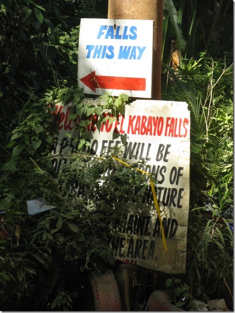
clip_image003  In case you didn’t know the way…a sign.

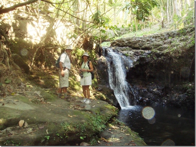
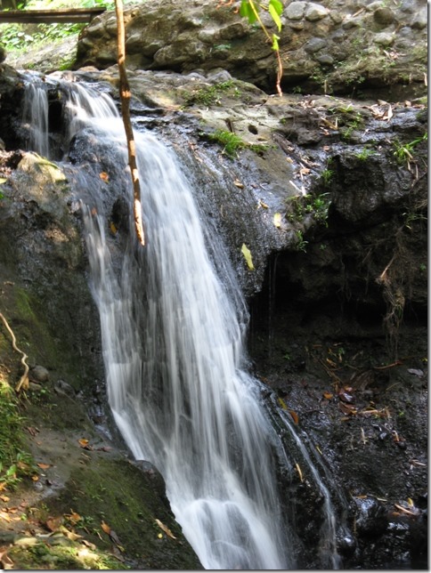
clip_image004  Not the biggest falls in the world.  C.C.

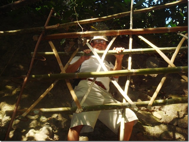
clip_image005  There was a second level of falls and this fence kept you from falling off the little path.  C.C.

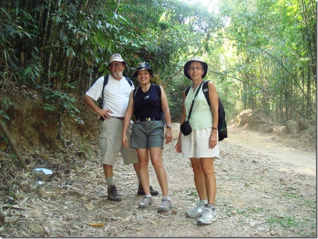
clip_image006  Sitting, enjoying the shade near the falls.  C.C. 

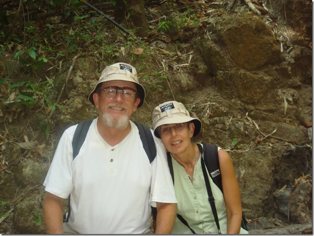
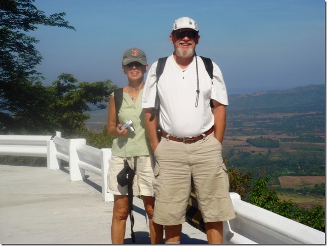
Our Mt Samat hats which I have to put away until after baseball season.  Beth Souza, a New Bedford friend saw an earlier photo and made me promise to wear my B hat only. 

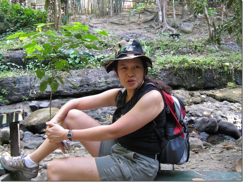
clip_image007  Carol sitting by the falls.

clip_image008  Pretty, but small.

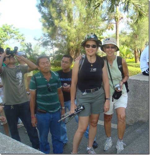
clip_image009 One of the race spectators took this for us.

This was our last adventure for the day.  Carol came back to the boat that evening and she and Rob and Cath, our newest boat neighbors and Randal and I ate pizza and watched the movie Prairie Home Companion.

Randal and I have seen it 4 times, but really like it and that was our only movie that none of the others had seen. 

One more email about our trip….our photo safari stalking very tame water buffalo.

Ruth Johnson

DoraMac
Samat story continued: Orani and Tita Mat

It’s baseball season!  Between that and recent trips to Barrio Baretto by jeepney, I haven’t been making much time to email.  I think we left off with lunch at Balanga. 

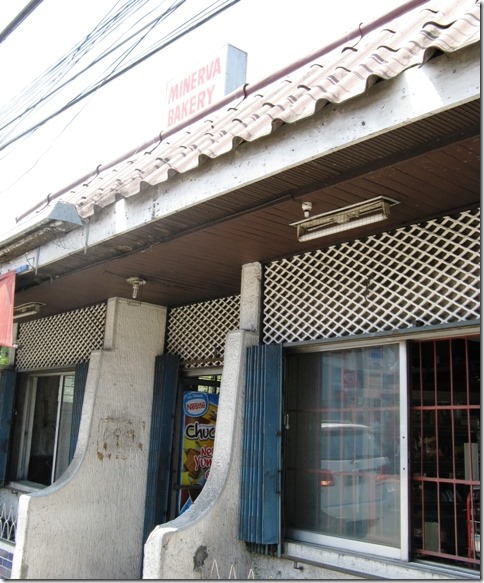
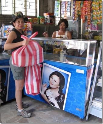
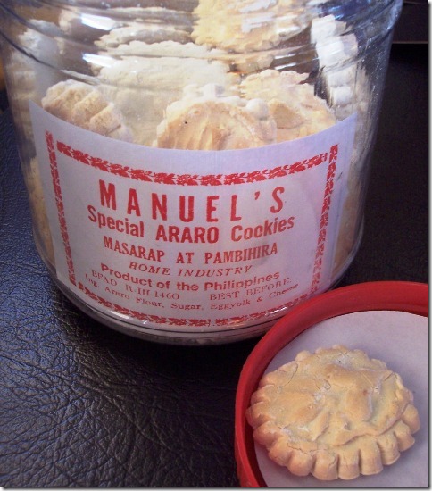
After lunch we drove through Balanga but most shops and business were closed up.  Maybe because it was Sunday or maybe because it was the holiday weekend to memorialize the Bataan Death March.  In any case, not many people out and about on the main street.  We drove on a bit and came to the town of Orani.  Carol’s “Tita Mat” ( Aunt Matilda in Tagalog ) lived there and Carol asked if we would mind stopping.  Of course not!  Before arriving at Tita Mat’s home we stopped at the bakery she has owned for many many years and Carol loaded up on goodies. 

clip_image001 clip_image002

clip_image003   Serious shopping!  Carol knew if she didn’t stop first, her generous aunt would give her all of the goodies.

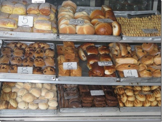
clip_image004clip_image005

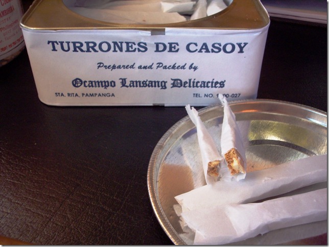
I like the araro flour cookies but they are an acquired taste, very floury!                     These are chopped nuts and honey.  Everyone liked these.

                                                                                                                          You really do eat the paper that I guess might taste like communion wafers though I have never  had                                                                                                                                                      one so I don’t know why I think that….maybe Carol said that?  Hmmmm

clip_image006 clip_image007 clip_image008

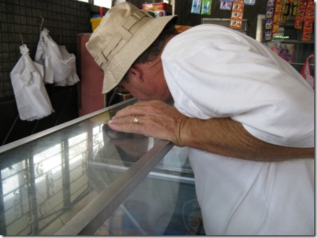
Carol and I both roared at this sequence.  Randal said the case was just frosted over, that’s why his nose was pressed to the glass.  Cute!!!

clip_image009  Carol points the way to her aunt’s house.

clip_image010 Right to left;  Aunt Matilda, Uncle, Carol, Cousin Mark, his wife

clip_image011 Mark,  Ian, Carol

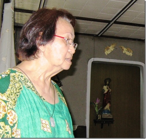
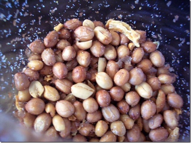
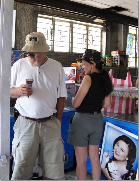
clip_image012  Off the front room is a small shrine.  Aunt Matilda is very religious.  With her bakery and I believe a small ice cream shop, she put 5 children through college.  She tried to get us to eat ice cream or anything, but we were still very full from lunch.  But she packed up mangoes from the tree in the yard and also garlic peanuts.

clip_image013 peanuts garlic salt.  Yum.  Bad breath!!!

Balanga

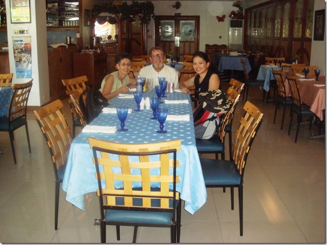
Balanga is the capital of Bataan Province and Carol wanted to see what was there. Maybe because it was Sunday and a holiday weekend too, most shops were closed up, so there wasn’t much going on to see.  She had also asked the driver to suggest a place for lunch since there would be more choices here rather than outside Balanga.    Although it was a bit early and we said we weren’t so very hungry, after our order the waiter suggested we move to a larger table because a table for 4 was too small for the food we had ordered! 

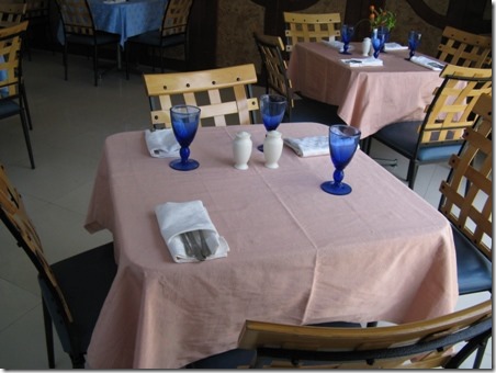
clip_image001  Here is where we started out

clip_image002 They made us move here.  We didn’t really order that much food, but things come in separate serving dishes and you put them onto your plate which can turn into lots of plates.  Rice has its own dish, meats have their own dish, etc.  Our waiter took the photo.

clip_image003 The Crown Royal Hotel and Restaurant

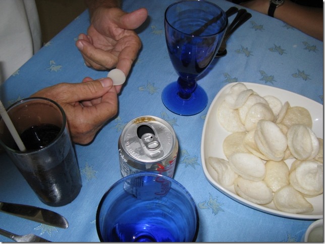
clip_image004  This was interesting.  You know those rather dry, crispy puffy things you get at Chinese restaurants?  Well, they start our like tiny pieces of plastic.  Carol asked the waiter to bring some so we could see it and even take a few home to “blow up” which I haven’t done yet.  We dipped the cooked ones into vinegar and they sizzled and tasted much better than just eating them straight.  Try it.

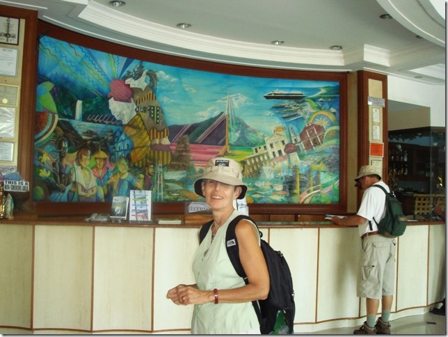
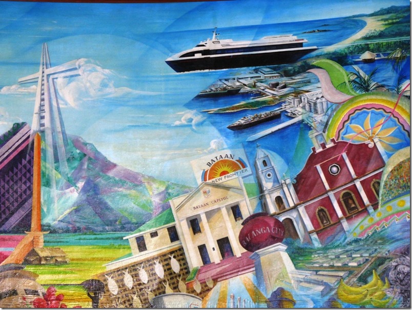
clip_image005  The hotel lobby.  I really liked the mural.  C.C.

clip_image006  This section of the mural shows Mt. Samat and Balanga.  I’m not sure if the ships represent the coast of Bataan or if that is Manila.

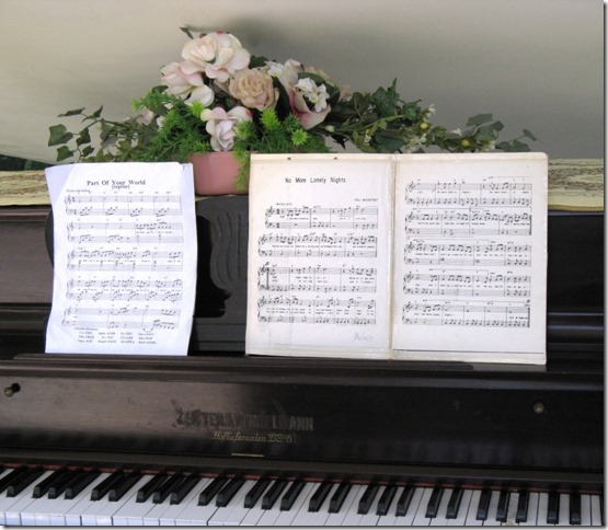
clip_image007  There was a piano in the lobby of the hotel. 

I tried to play Greensleeves which I have known by heart till I tried to play it here.  I couldn’t get past the first 5 notes and decided a public forum wasn’t the place to try.

Then we were off to Orani to visit Carol’s aunt.

Ruth Johnson

DoraMac
I am signing the emails this way so if blogs disappear, maybe they can just be googled and we can find them again.  Oddgamer may come back, hopefully.    http://www.tabblo.com/studio/person/DoraMac has lots of the photos from mid-2007, but not much text.  http://oddgamer.wordpress.com/  has most of the old emails minus the photos.  One day it will get straightened out.

Mt. Samat 3

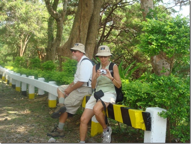
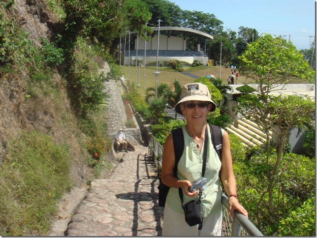
clip_image001  Randal and Carol on the zigzag path. You can see the stones better.  They were underfoot too, though not so stuck out.  It did slow one down.  Good picture of the new hats. 

clip_image002 Not sure if that’s one of the bronze urns in front.  We weren’t able to get anywhere near the front of the building.  Really too bad

.clip_image003

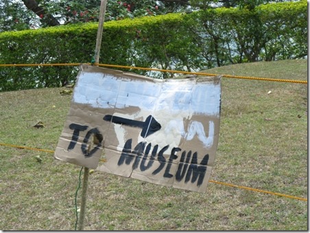
See the sign?  Unfortunately the small part of the museum we were allowed into was about as makeshift.  It was quite run down too.  No food, drink, touching exhibits or photos allowed.  You couldn’t really get close enough to the photos to see them or even read the material that went with it.  There was no official start of end point.  Not good.  Too bad. 

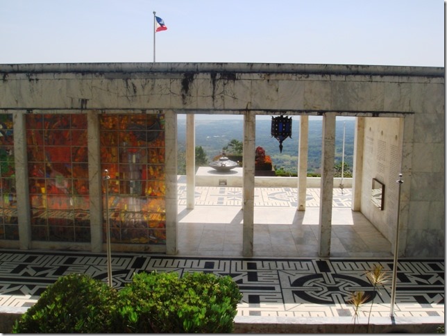
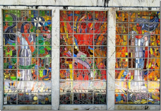
clip_image004 We could see the stained glass from a distance. This is with my zoom.  But again, we couldn’t enter the part of the Colonnade to see the windows or much else.  Just the basement museum. Nothing in the booklet explains the window’s images.   Too bad.

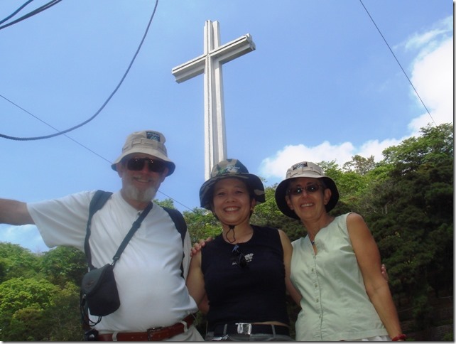
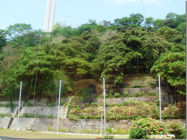
clip_image005  Carol set up her tripod for this photo.  Randal and I have the same hats. I think the hanging lines are from the 18 Flag Poles that hold the USAFFE Division/Units colors.  But that’s a guess and I cropped most of it out anyway.    C.C.

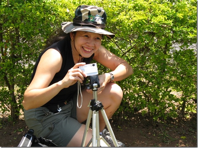
clip_image006 Carol setting up the tripod for the photo.

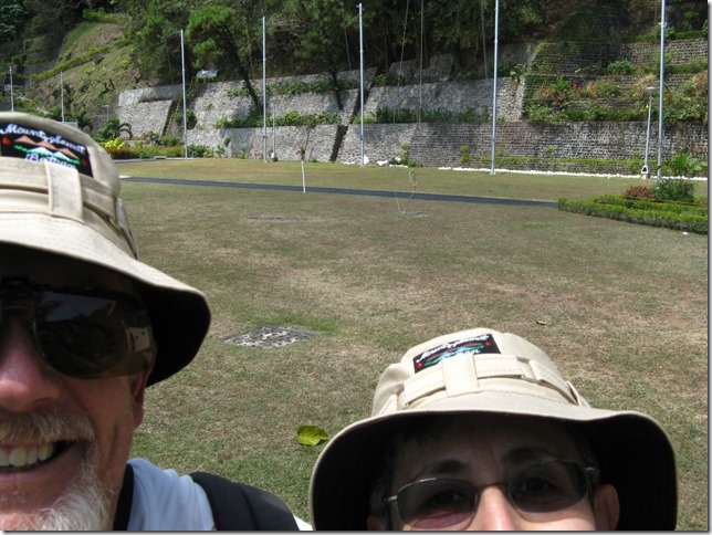
clip_image007 This is not a photo taken by Carol. 

While she was setting up her camera I was taking a series of photos of her doing it.  I then tried to take a photo of Randal and me, you know stick the camera out arms length and “click.”  I took all of the photos of Carol setting up her tripod and then added this at the end instead of the photo she took and emailed it to her.  We tricked her into looking at her email while she was on the boat and we all really laughed.  I’m still laughing.

clip_image008  Randal and I wait in the shade while Carol calls her driver to come get us and our matching hats. C.C.

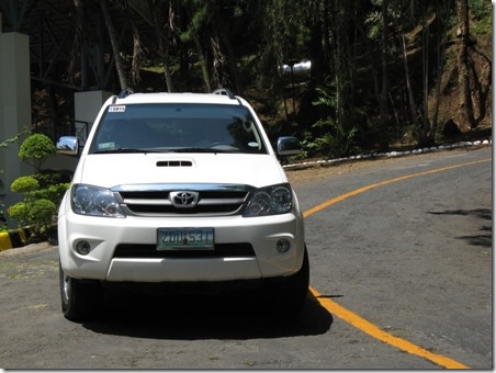
clip_image009 Toyota SUV

Then it was on to Balanga for an early lunch.

Mt Samat 2

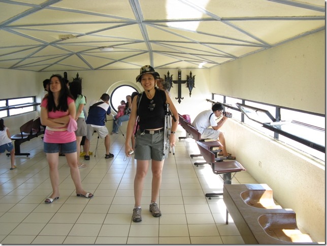
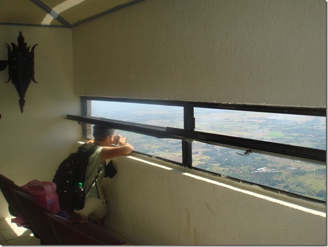
Carol and I waited in the short line and took the elevator to the cross arms.  Neither of us wanted to admit to friends that we were there and didn’t do it. We weren’t afraid,  just impatient and there was a line.   In some ways that was the only reason to have done it.  There was nothing up there, and the view wasn’t so great and the line to go back down was as long as the one coming up, which makes sense.  But I’m glad that we did it and here’s proof.  Randal opted out and sat in the shade swapping stories with a Philipino women there with her family.  When Randal told us about her, he referred to her as an old woman.  Carol asked how old?  60 said Randal and Carol and I both had the same reaction at the same time!  Randal will be 60 in September.  We asked how he could call her old and he said, she just seemed old and her life story of caring for several “unwanted” children made him see her as “old.'”  Unfortunately just as Carol had been about to surreptitiously manage a photo of her with Randal,  it was our turn to get into the elevator. 

clip_image001 This is the inside of the cross arm.  Carol with her tripod and her new hat.  Did I mention that Randal bought us all new hats?  Randal and I have the same kind, Carol opted for the camouflage version.

clip_image002  I had my camera strap around my neck!  C.C.

clip_image003  I stuck my camera our the window and snapped this picture.  You can see the road up the mountain, the Colonnade from the back and a little side stage area and some of the zigzag down from where the cross is.

Our next stop was the museum in the Colonnade.

clip_image004 We’re walking down the hill from the Cross to the museum. 

You can see the Colonnade with it’s stained glass window.  C.C.

clip_image005 Carol made us pose for this photo and she really liked it.  You can see Randal sitting waiting for us to catch up.  We had commented that it was difficult to walk on the path because of the raised stones.  The little booklet we bought in the souvenir stand says this about the stones.  “From the Colonnade to the Cross is a 14-flight zigzagging footpath on the mountain slope, paved with bloodstones from Corregidor Island.”  I looked up “bloodstone ” and it said that in the Philippines red colored sandstone is called bloodstone. 

I guess that the 14 flight means the different sections.  C.C.

clip_image006 You can see the cross and the zigzagging path.  C.C.

clip_image007  This photo was taken much later during the day.  But my sister requested it so you could see the cross in relation to the mountain and area.   “The Bataan Peninsula encompasses and area of  137,296 hectares.  Upland hills and mountain regions cover 80.9% of the total area while lowland and plains extend  to 19.1% ”   from the little booklet we bought at Mt. Samat.   C.C. 

clip_image008

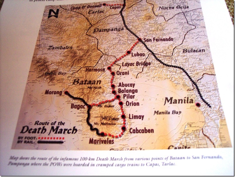
From The Battle for Battan  by Prof. Ricardo T. Jose.   It shows Mt. Samat.  It also shows Balanga (silent g) the capital of Battan where we had lunch and Orani where we visited Carol’s aunt. To avoid the Japanese during the Bataan invasion, Carol’s parents, children at the time, escaped with their parents to the countryside.  I can’t remember if Carol said it was her mom or aunt who said the kids had fun!  Most families and neighborhoods evacuated together and all helped each other survive.  One of Carol’s uncles didn’t remain with the family and he was never seen again, probably killed by the Japanese. 

Subic Bay is also shown and Morong too where we have been with Bob and Audrey and Mariveles where we have been with Nick and Zaida.  When I had searched the web for directions to Mt. Samat they would tell me to go to Manila and  take the one hour ferry!  When we go to Puerto Galera from Subic you follow the coast line.  But you have to cross Manila Bay  just past the tip of Mariveles.  We don’t head into the bay, but just keep going south to the next island The Bay opening makes a large area of open water and that can make for lots of rocking and rolling!

To be continued

Ruth Johnson

DoraMac
Fw: Mount Samat Visit # 1

We had such a wonderful day in the Bataan Peninsular with Carol that I am going to send several emails about it.  Carol and I took lots of photos of the sites, of each other;  and of there are several of all of us taken by passers bye or with her tripod.  Carol is the CFO of Wyeth Philippines and her company provides her with a car and driver, not only for work, but for all of her excursions.  Sunday morning, at 7:30 on the dot, we met Carol and her driver in the lobby of the SBYC.  Then it was off to Mount Samat.  I had seen the cross from a distance on our Mariveles outing with Nick and Zaida.  When I read about it afterwards, I learned that you could ride an elevator to the cross arms for the view.  I had also read that the complex had a museum dedicated to the Bataan Death March and other World War 2 history.  When Carol was in Subic over Easter we had made a plan to visit Mt. Samat, something of interest to her, also.  Family ties to Bataan  was another reason for Carol wanted to make the trip.

It was a pleasant drive; not so much traffic and an experience driver who knew the area.  For this trip Carol had left her Volvo at the SBYC and we had a Toyota SUV instead, very roomy and comfortable.  It took a little over an hour.  When Carol had told the head of security for Wyeth Philippines she was going to hike up Mt. Samat he suggested we drive.  There are poisonous snakes and things….in the jungle area up the mountain.  I must admit I was a tad disappointed, until I got there.  It was dense jungle, not a path in visible, and straight up.  Now, one could have walked up the road, but driving was more sensible as well as safe.  I’m not sure I would have even liked driving up the steep, winding road unless I absolutely trusted the car to keep going up.  It was quite pretty; like parkway pretty.  You’ll see in the photos.

Some facts about the Mt. Samat Shrine:

It is a memorial to the soldiers, American and Philippine, who were forced to surrender to the Japanese on April 9th, 1942 and then forced to participate in the Death March through the Bataan Peninsular.

It is Pilar, Bataan, Philippines

Inaugurated 1970

The Cross:

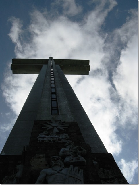
The Memorial Cross is 555 meters above sea level made of reinforced concrete and steel.

The height of the cross is 92 meters from the base.

The height of the arms is 74 meters from the base

The length of the entire arm is 30 meters

The viewing gallery 18 ft wide and 90 ft long and about 7 ft high

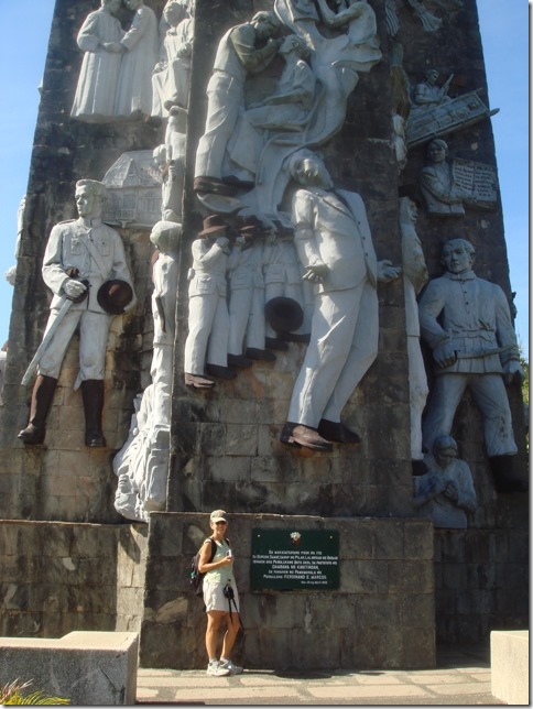
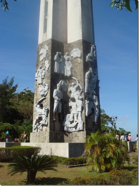
The first 11 meters of the base is capped with sculptural slabs and bas reliefs of battles and historical events, above the base it “chipped granolithic marble.”

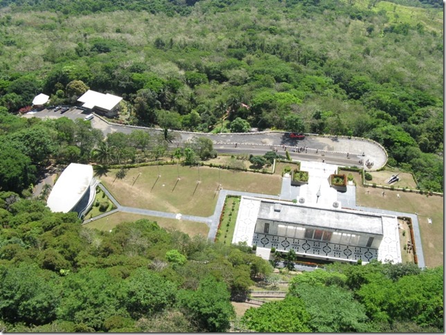
The Colonnade:  (Most of it was blocked off in preparation for President Arroyo’s visit Wednesday.  April 9th is the official holiday to remember the surrender of Major General Edward P. King, Jr. senior American officer to the Japanese and the beginning of the Death March.)  Because we could only enter the Colonnade from the back and see only a small exhibit in the basement, I am just copying what the guide book says with no comment. 

   “The Colonnade is a marble-capped structure with an altar, esplanade and a museum.  There are several historical depictions on the Colonnade which include the following:

Stained Glass Mural behind the altar

19 Scriptural Marble Reliefs and Parapet

18 Bronze Insignias of USAFFE Division Units

2 bronze urns symbolic of the eternal flame

18 flag poles with colors of USAFFE Divisions/Units and Inscriptions of the Battle of Bataan

I have to admit that 56 year after the event, most visitors were far from somber or sad.  It was a beautiful sunny day with a cooling breeze. 

The C.C. after a photo indicates that Carol took the photo.  Anonymous means a kind passerby took the photo.

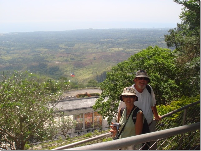
clip_image001 Beautiful valley visible below. C.C.

clip_image002  You can see some of the bas relief at the base.  Anonymous

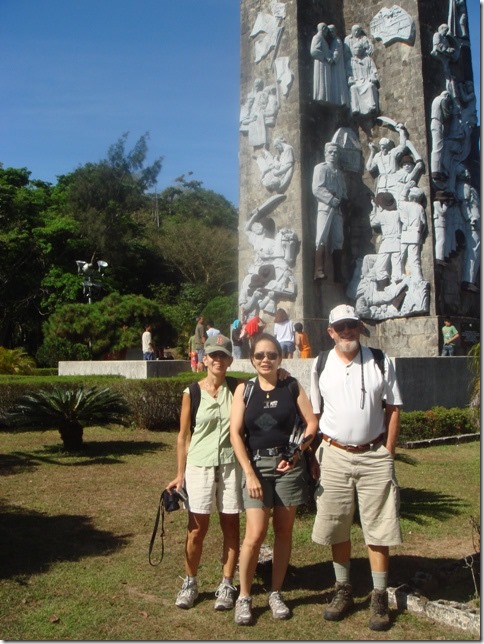
clip_image003  Carol’s photo of me gives a sense of the height.   Just over my head is Jose Rizal being executed, shot in the back by the Spanish.  C.C.

clip_image004  The back side of the base.  The top right relief is a cameraman, but the guide book doesn’t tell what all of the sculptures are.   C.C.

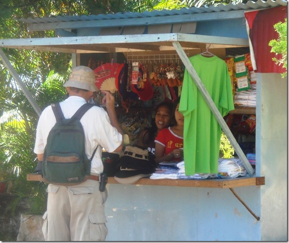
clip_image005 Randal buys hats!  Randal wanted a hat to keep the sun off his ears.  We all got new hats.  C.C.

clip_image006 Carol and I wait for our turn up the elevator.  We are both wearing our new hats.  Anonymous

clip_image007 The clouds moving rapidly past the top of the cross made it look as if it were pitching forward!  Very disconcerting!!  The elevator up to the top was small and crowded.  We couldn’t see out of the windows.  The relief at the bottom, just over the door into the cross is Lapu Lapu.  C. C.  

“Lapu-Lapu was a native chieftain on Mactan , he was known as the first native of the archipelago to have resisted Spanish colonization. He is now regarded as the first National hero of the Philippines.”  from Wikipedia.

Hello

Hi Everyone,

  Randal and I are fine.  My Red Sox are not so fine.  3 wins, 4 losses and they are at the bottom of the AL East.  Only one way to go!  I have no sense of panic yet.  They’ll be fine.  It’s amazing how a World Series Championship the prior year calms one’s fears.

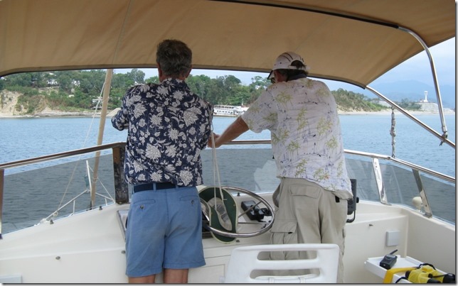
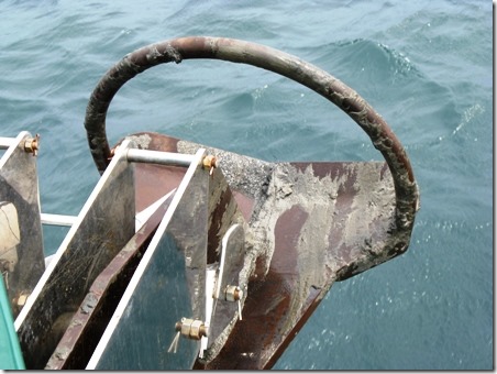
Our friend Carol Carino came back to visit this weekend and we have had a wonderful, too short time. This weekend is a holiday weekend to honor the memory of the  Bataan Death March.  Mt. Samat. in Bataan,  has a memorial and museum dedicated to the Bataan March and we went there Sunday. It was an all day Bataan adventure with Carol as the leader and her driver for the guide.  It was great!   Saturday we took DoraMac into the bay to test our new anchor, and the redone “fish” which, sadly,  still aren’t perfect, but are getting better.  Everything needs to be tested to make sure it will work; and then it will be galvanized.  Our friend Greg came with us too, to help and offer advice and support.  The weather was slightly overcast so that made it nice; not so hot!  That evening we all went back to our new favorite restaurant,  Aresi for a meal of good food and conversation. 
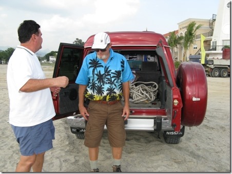
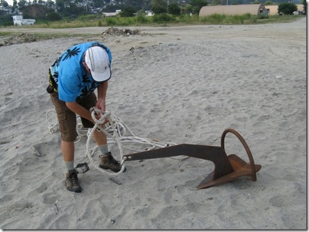
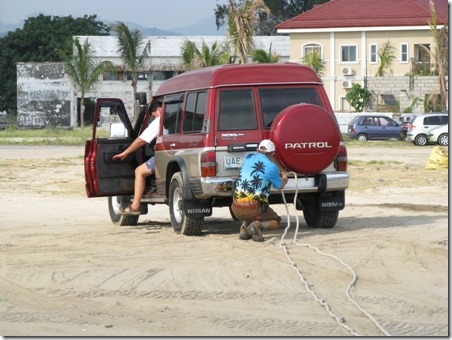
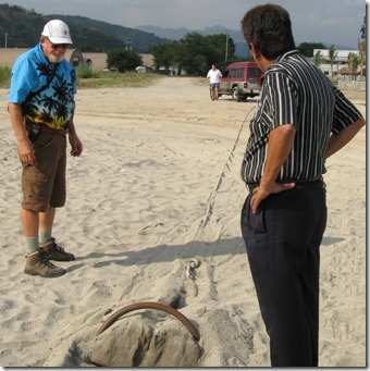
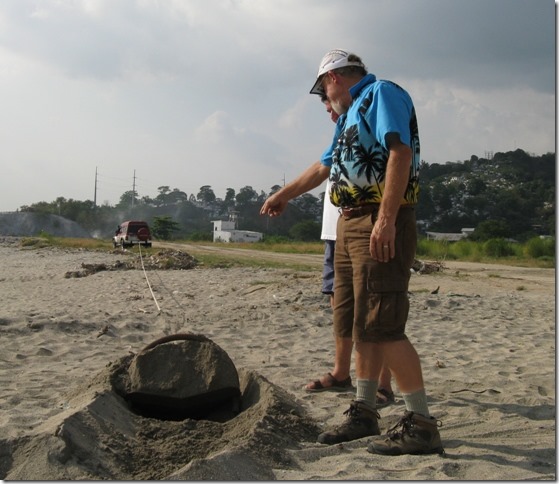
  Earlier this week we had tested the anchor in the sand on the beach.  Nick had suggested this test and it did seem to go well.  Some of the sand was really too hard for the anchor to dig into, so that part of the test didn’t work out.  Here are some photos of the test with Nick and then the bay test with Carol and Greg.

clip_image001 Arriving at the beach with the anchor.  Nick and Randal make a plan.

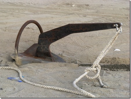
clip_image002 We didn’t bring the real anchor chain, but just a heavy duty rope for the test.

clip_image003 Attaching the line to the suv.

clip_image004 The anchor has dug into the sand.  The man on the right owns the Lighthouse Hotel and also the sailboat, Purpose Driven.  Randal had sat with him at the last awards dinner for the races.  I opted not to go to the dinner.

clip_image005 First the anchor had been pulled straight back. 

This test pulled it sideways to see if it would turn itself around and dig in.  It dug in well enough to spin Nick’s wheels.

clip_image006  The anchor

clip_image007  This is actually not far down the beach from our land test.  We needed to get into shallow enough water and the depth goes from like 100 ft to 5 feet very sharply and that is only a very slight exaggeration.

clip_image008  The anchor seemed to work well.  We had forgotten our washdown hose so the anchor is a bit mucky.

clip_image009  Randal, Greg, and Carol on our way back to the SBYC

Ruth Johnson

DoraMac