Carol and I waited in the short line and took the elevator to the cross arms. Neither of us wanted to admit to friends that we were there and didn’t do it. We weren’t afraid, just impatient and there was a line. In some ways that was the only reason to have done it. There was nothing up there, and the view wasn’t so great and the line to go back down was as long as the one coming up, which makes sense. But I’m glad that we did it and here’s proof. Randal opted out and sat in the shade swapping stories with a Philipino women there with her family. When Randal told us about her, he referred to her as an old woman. Carol asked how old? 60 said Randal and Carol and I both had the same reaction at the same time! Randal will be 60 in September. We asked how he could call her old and he said, she just seemed old and her life story of caring for several “unwanted” children made him see her as “old.'” Unfortunately just as Carol had been about to surreptitiously manage a photo of her with Randal, it was our turn to get into the elevator.
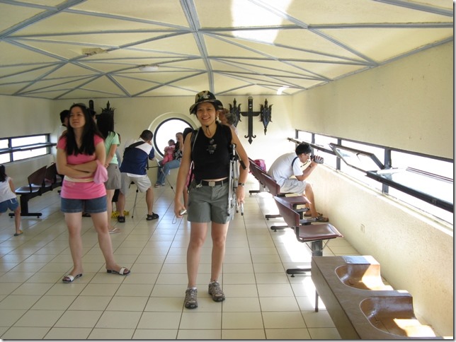 This is the inside of the cross arm. Carol with her tripod and her new hat. Did I mention that Randal bought us all new hats? Randal and I have the same kind, Carol opted for the camouflage version.
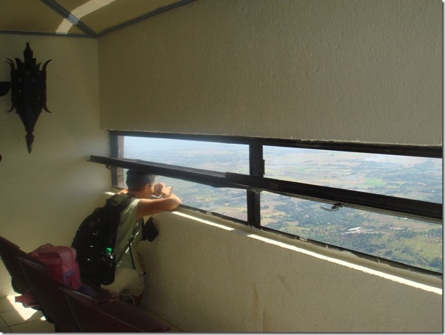 I had my camera strap around my neck! C.C.
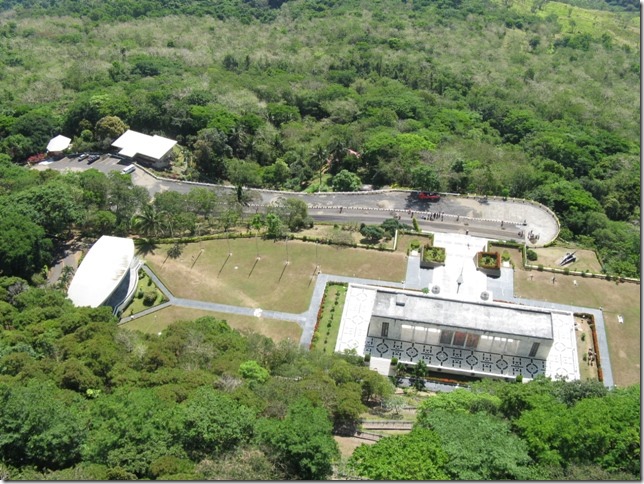 I stuck my camera our the window and snapped this picture. You can see the road up the mountain, the Colonnade from the back and a little side stage area and some of the zigzag down from where the cross is.
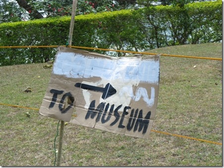
Our next stop was the museum in the Colonnade.
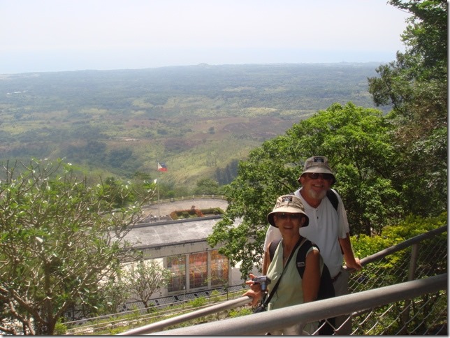 We’re walking down the hill from the Cross to the museum.
You can see the Colonnade with it’s stained glass window. C.C.
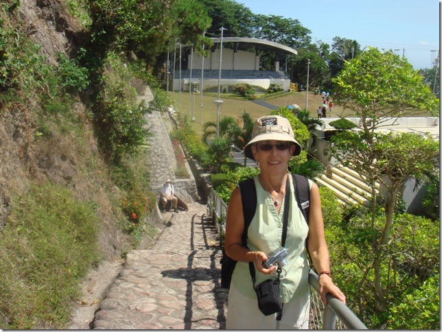 Carol made us pose for this photo and she really liked it. You can see Randal sitting waiting for us to catch up. We had commented that it was difficult to walk on the path because of the raised stones. The little booklet we bought in the souvenir stand says this about the stones. “From the Colonnade to the Cross is a 14-flight zigzagging footpath on the mountain slope, paved with bloodstones from Corregidor Island.” I looked up “bloodstone ” and it said that in the Philippines red colored sandstone is called bloodstone.
I guess that the 14 flight means the different sections. C.C.
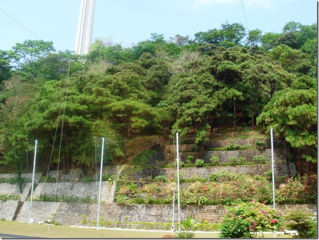 You can see the cross and the zigzagging path. C.C.
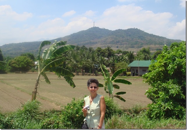 This photo was taken much later during the day. But my sister requested it so you could see the cross in relation to the mountain and area. “The Bataan Peninsula encompasses and area of 137,296 hectares. Upland hills and mountain regions cover 80.9% of the total area while lowland and plains extend to 19.1% ” from the little booklet we bought at Mt. Samat. C.C.
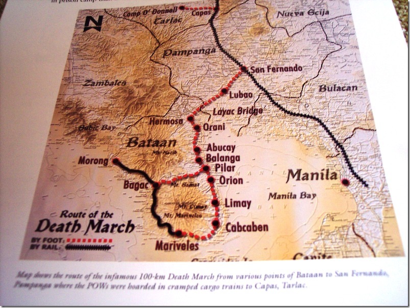
From The Battle for Battan by Prof. Ricardo T. Jose. It shows Mt. Samat. It also shows Balanga (silent g) the capital of Battan where we had lunch and Orani where we visited Carol’s aunt. To avoid the Japanese during the Bataan invasion, Carol’s parents, children at the time, escaped with their parents to the countryside. I can’t remember if Carol said it was her mom or aunt who said the kids had fun! Most families and neighborhoods evacuated together and all helped each other survive. One of Carol’s uncles didn’t remain with the family and he was never seen again, probably killed by the Japanese.
Subic Bay is also shown and Morong too where we have been with Bob and Audrey and Mariveles where we have been with Nick and Zaida. When I had searched the web for directions to Mt. Samat they would tell me to go to Manila and take the one hour ferry! When we go to Puerto Galera from Subic you follow the coast line. But you have to cross Manila Bay just past the tip of Mariveles. We don’t head into the bay, but just keep going south to the next island The Bay opening makes a large area of open water and that can make for lots of rocking and rolling!
To be continued
Ruth Johnson
DoraMac
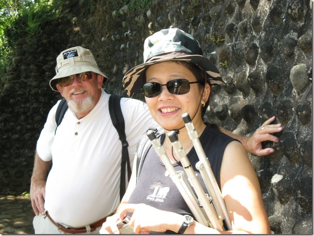 Randal and Carol on the zigzag path. You can see the stones better. They were underfoot too, though not so stuck out. It did slow one down. Good picture of the new hats.
 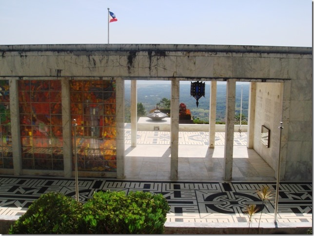 Not sure if that’s one of the bronze urns in front. We weren’t able to get anywhere near the front of the building. Really too bad
 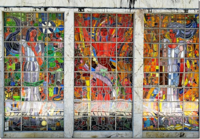 We could see the stained glass from a distance. This is with my zoom. But again, we couldn’t enter the part of the Colonnade to see the windows or much else. Just the basement museum. Nothing in the booklet explains the window’s images. Too bad.
 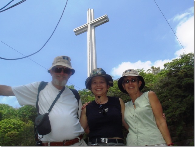 Carol set up her tripod for this photo. Randal and I have the same hats. I think the hanging lines are from the 18 Flag Poles that hold the USAFFE Division/Units colors. But that’s a guess and I cropped most of it out anyway. C.C.
 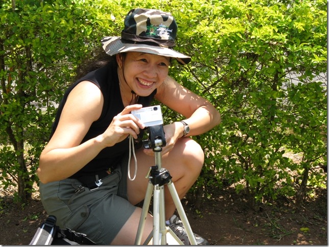 Carol setting up the tripod for the photo.
 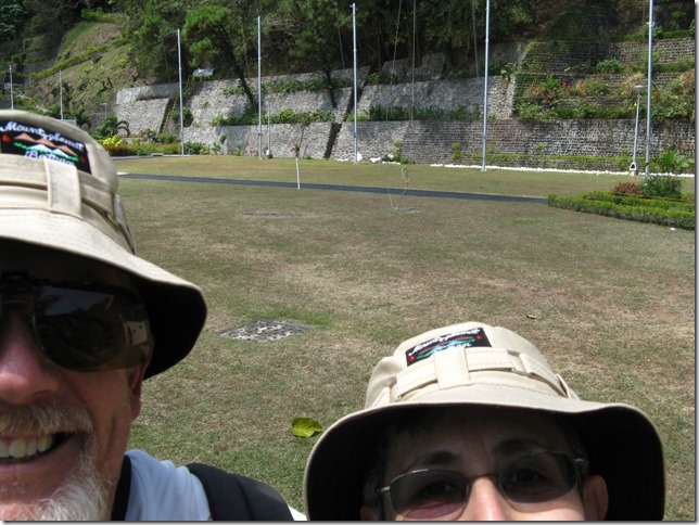 This is not a photo taken by Carol.
 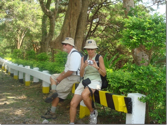 Randal and I wait in the shade while Carol calls her driver to come get us and our matching hats. C.C.
