Cheers,
As Mary and Rick had spent time in Ipswich a few years ago, they know the area pretty well. So off we went on a hike over hill and dale. Actually more like city and country, but you get the idea. The weather truly cooperated as there was a 40% chance of rain. But we remained quite dry as did the sheets hanging out on the line back at the boat. Randal had stayed behind waiting for a boat service person to come paint our aft cabin bilge, but his mind was not on the laundry so I was glad when we returned to get it in. But, “no worries” as they say here; only some dark clouds and strong breezes. Mostly a very bright sun showed itself today just perfect for a long walk.
Ru
|
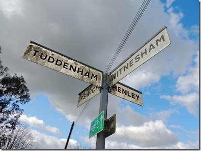
More about Tuddenham and Witnesham below.
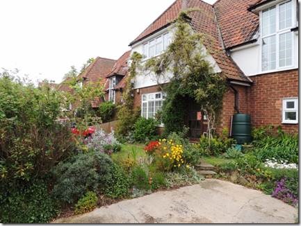
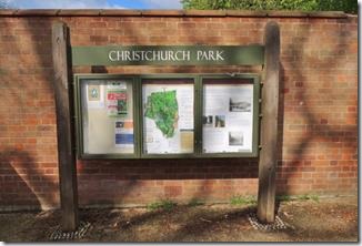
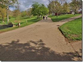
We didn’t explore either place today; just hiked from the boat through Christchurch Park, past some lovely neighborhoods, along dirt trails, over stiles and railroad tracks to the Railway Inn Pub and then back along Westerfield Road to Ipswich.
Welcome to Westerfield-village.co.uk
The village extends over an area of 1.8 miles North to South and 1.3 miles West to East. The largest land use is for agriculture while residential use occupies the remainder. There are two small areas of commercial use at the North and South of the village.
http://www.westerfield-village.co.uk/
History of Westerfield
Westerfield is a small village. Nonetheless, it has a recorded history many centuries old. The earliest evidence of human occupation is in the late Stone Age, stone mace and flint axe head found in the village and now in Ipswich Museum. Centuries later, the influence of the Roman occupation was revealed when a number of Roman coins were found close to the Main Road and several burnt clay cinerary urns of the Roman-British period were unearthed near the railway crossing.
Westerfield name
Following the Romans’ departure, the Saxons crossed the North Sea to settle in the coastal areas of Suffolk and arrived at a clearing in the forest north of Ipswich which, later, the Norsemen found and named WESTREFELDA – “Vestri” meaning “more to the West”, and the Anglo-Saxon ‘field’ meaning a clearing. Over the years, the name has been changed to WESTRESELDA, WESTFIELD, WESTERFEUD, WESTERFELD, WESTERDEFELD and WESS-ER-FEL (which remains a familiar pronunciation to Suffolk countryfolk) and eventually, at a date unknown, to the present WESTERFIELD.
Westerfield in Norman Times
In 1086, the Doomsday Book, (the survey of England ordered by William the Conqueror), lists details of 21 holdings of land in the parish. Included therein is reference to the Manor, held prior to the Conquest by a Saxon freeman, but by 1086 it was held by Earl Alan of Brittany, who was married to the Conqueror’s daughter Constance. The lands of the Manor covered an area of 120 acres. Earl Alan also held land in Westerfield whose valuation was included in Ipswich; perhaps early evidence of the divided allegiance of Westerfield inhabitants for many years, between those living in Ipswich Borough, and those in the county.
http://www.westerfield-village.co.uk/history_of_westerfield.html
|
|
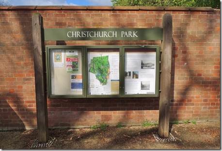
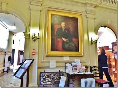
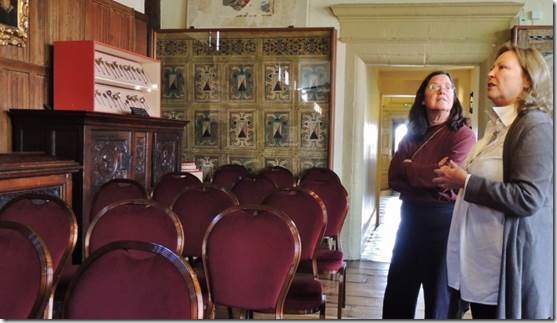
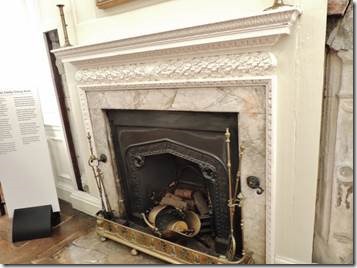
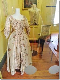
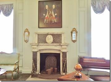
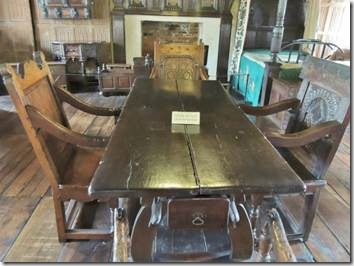
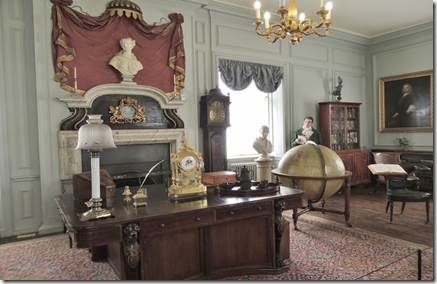
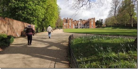
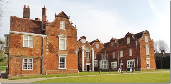
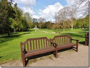
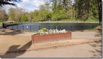
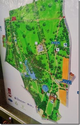
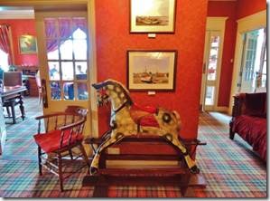
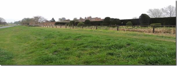
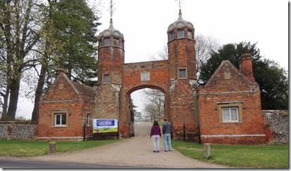
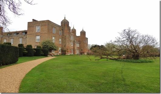
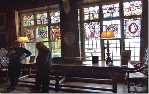
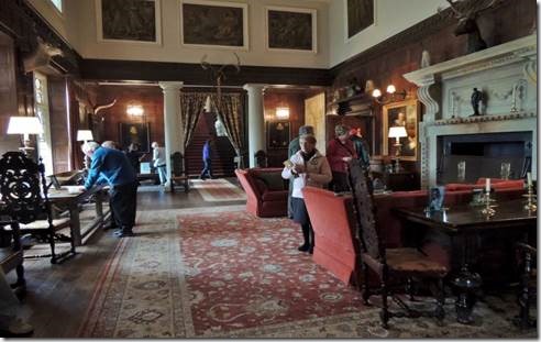
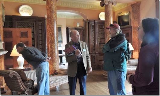
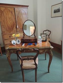
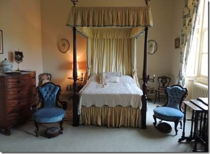
Christchurch Park has a huge mansion which Mary and I toured and I’ll write about next email. It was at one point owned by the Fonnereau Family for whom our walking train was named.
|
|
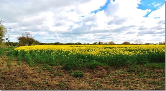
Fields of yellow rape.
|
|
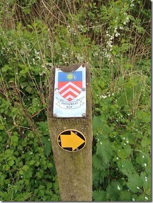
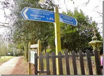
The sign posted way
http://www.eastsuffolklinewalks.co.uk/fonnereau/
“The Fonnereau Way is named after the family who were the owners of the magnificent Christchurch Park and the Elizabethan Mansion from where the route starts, but it’s worth beginning this stage from the Old Custom House, in the heart of Ipswich’s rapidly re-developing waterfront.
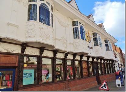
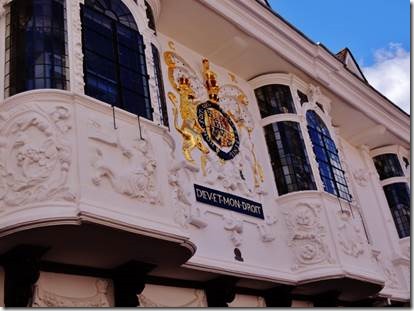
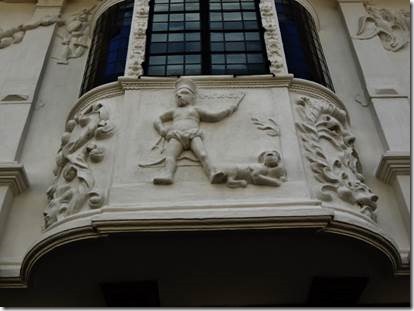
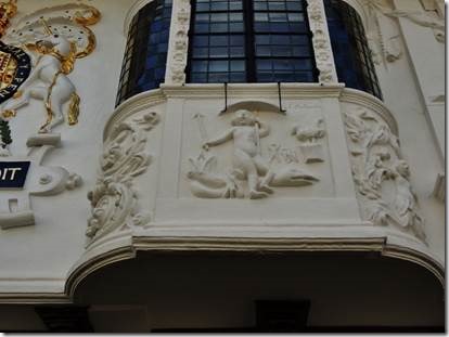
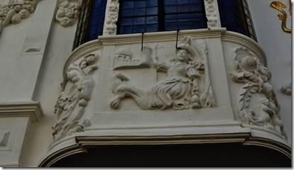
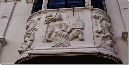
The route through the town explores quaint lanes and some less obvious streets that are full of exceptional architectural and historic interest, including the famous Ancient House with its fantastic pargetting. After the rolling slopes of Christchurch Park the route traverses undeveloped countryside to the north of the town to reach the rail station and village at Westerfield.”
|
|
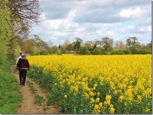
And more fields…..
|
|
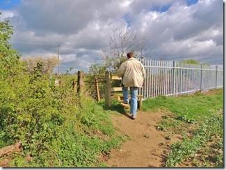 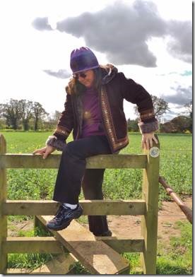
Climbing over the stiles
|
|
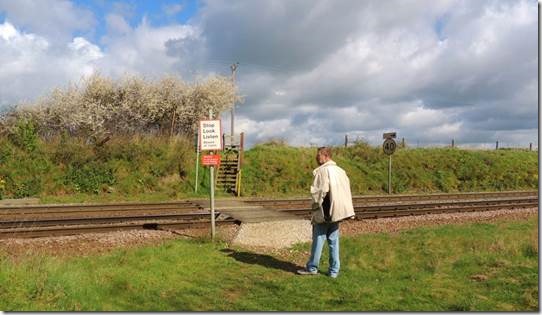
Crossing the railroad tracks….Stop Look Listen …..
|
|
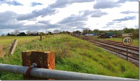
Looking down towards the railway station in Westerfield.
The nice thing is that you can hike one way and train back if you choose. Today we hadn’t gone that far so we walked back.
|
|
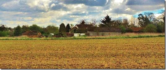
|
|
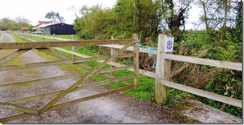
You pass through farms so much make sure the gates are closed behind as you leave.
|
|
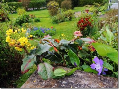
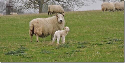
“It’s Spring Sir!”
The English have such lovely gardens and the wild flowers are blooming also.
|
|
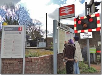 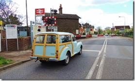
Waiting for the train that crosses Westerfield Road. We could have taken it back to Ipswich but opted for a coffee at the Railway Inn Pub instead and then a walk back along the road.
|
|
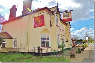 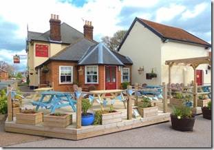
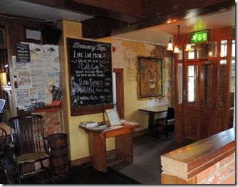
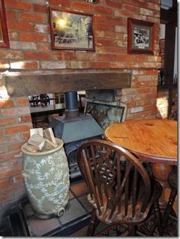
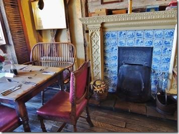
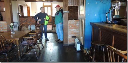
The Railway Inn : perfect for an empty and refill of cappuccino on a sunny but chilly/windy day.
“Peter, Sarah and the team offer a warm welcome to The Railway Inn Westerfield.
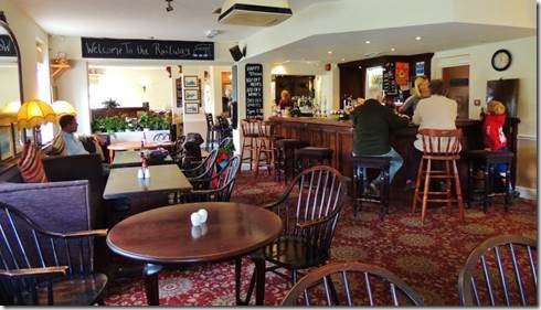
Approx 1.5 miles north of Ipswich and on a direct rail route we are close enough to be your local and offer a relaxed country feel. Casual dining is available throughout, whether it be in a booth in the large bar area or in our split level restaurant. The menu is one of traditional pub style food with a modern twist. Seasonal dishes are showcased on our specials board and change weekly. Set menus at lunch and dinner are also available 7 days a week to ensure good value and choice.
Whether it’s a family get together, Sunday lunch or a sarnie after a ramble we have a menu to satisfy. Al fresco dining is available in our large beer garden at the rear of the premises or on the newly appointed decking area, perfect for summer days and nights (we hope). Children are always welcome and the main menu can be adapted accordingly. We are also dog friendly in the bar area only.
Menus change regularly and we endeavour to keep them update, how ever there may always be some variation. We look forward to serving you soon.”
– See more at: http://www.therailwaywesterfield.co.uk/
|
|
|
|
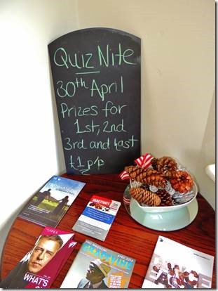 
If there’s a pub, there’s a quiz night at which Americans fail miserably as we really don’t know English popular trivia.
|
Maybe one day we’ll visit Witnesham and Tuddenham…
http://en.wikipedia.org/wiki/Witnesham
Witnesham is a village situated roughly 4 miles (6 km) to the north of Ipswich, Suffolk. The main road from Ipswich that links the village to the town is the B1077, Westerfield Road.
It is in the Domesday Book[1] as ‘Wytenesham’ (Witta’s/Witten’s meadow or enclosure) and had 10 villagers.
It was a part of the old Hundreds of Suffolk of Carlford (hundred).[2]
The village has two churches, the Baptist at the top of the village, north on Upper Road.
The larger church, St Mary’s OS grid TM1850, located west out of Witnesham along the Church Lane (no through lane), near the source of the River Fynn.[2]
Witnesham Hall, (OS grid TM1750) was built in the 16th century, and is further west on the same lane.
Witnesham takes its name from Witta’s or Wittin’s meadow and a section of this walk passes through the delightful pastures bordering the River Fynn. There may be cattle in the fields and dogs should be kept on a lead or under close control at all times. http://web.archive.org/
By Michael Anderton
The village of Witnesham stands at the place where the B1077 road south from Debenham once forded the little River Fynn before continuing on through Westerfield to the markets of Ipswich. At the start of the walk by a bus shelter stands the village sign depicting three pigs behind a gate, reflecting the agricultural nature of the area. The sign was designed and unveiled by the late Carl Giles, well known cartoonist and former village resident. Witnesham takes its name from Witta’s or Wittin’s meadow and a section of this walk passes through the delightful pastures bordering the River Fynn. There may be cattle in the fields and dogs should be kept on a lead or under close control at all times.
The route is marked throughout with special green circular walk signposts and yellow circular walk waymark arrows and is therefore very easy to follow, even without a map.
From the village sign and bus shelter turn right down The Street on the roadside footway to the war memorial and old village well. Turn right up Hall Lane, bearing left along the lane lined with houses. At the end of the Tarmac surface continue on to a metal gate and pass through the heavy metal kissing gate to the left.
Follow the rough track in the pasture, along the hedge on the right. Before passing through the first gateway, note the large tree leaning over the path from the right. This is fine example of the less well known Black Poplar, a tree that is indigenous to the eastern counties. Note the rough bark, looking almost hand carved. Continue through 2 more gateways to the end of the hedge and then bearing left across the grass to a gate in the corner of the field. Notice the raised banks in the grass that define the old route of Hall Lane leading to Witnesham Hall. On the other side of the gate is a ford across a tributary of the River Fynn, cross via the stile and footbridge to continue along the tree lined lane.
At the junction with Church Lane look left through the gateway to see Witnesham Hall, dating from the 16th century, the timber framing now encased in red brick. Turn right along Church Lane, passing the parish church of St. Mary’s and the former school, now used as the village hall. A series of stones set in the wall provides a potted history of the building that started life as a National School built from voluntary subscription in 1810. The walk can be started from the car park here if preferred.
At the B1077 road there is an opportunity to short cut along the roadside footway to the right over America Hill to the Barley Mow and the car park at the start.
Cross the main road to Wash Lane, from here to the ford the lane is often flooded, the stream running down the roadside after periods of rain, although it is usually only a trickle or dry. Use the footbridge at the ford if necessary and continue on up the lane, past the entrance to Whitehouse Farm and then on to a junction. Take the right fork up towards Burnt House Farm and, at the entrance gate, turn right on a field edge path.
After about 100 metres where the path bears left through the hedge, turn sharp right on a crop break strip across the field, starting by an electricity pole. At the hedge on the other side, follow the path on the right of the hedge, through to the next field and continuing on down to the corner at the rear of the Barley Mow pub. Look up to the left to see the red brick Red House Farm that dates from about1450, mostly in its present form.
Pass through the kissing gate and along the path at the side of the pub to reach Mow Hill. The Barley Mow Inn has been established as pub on this site since 1766 and is well worth a visit.
Turn left and cross to the roadside footway to return to the start and the car park.
Information
Location: Witnesham is 4 miles north of Ipswich
Start: The village car park by the village sign, Ordnance Survey map reference TM 184502
Length: 2½ miles
Conditions: Pasture, track, field edge and road, muddy across fields in wet weather, 1 stile. Wash Lane may be flooded after heavy rain
How to get there: –
Public Transport: For details telephone Suffolk County Council’s Public Transport traveline – 0870 608 2 608
Road Route: From Ipswich north on B1077 through Westerfield
Car Parking: Free in the centre of village, also off Hall Lane and at the village hall on Church Lane
Refreshments: Barley Mow pub, Witnesham Post Office
Public Toilets: None
Map: Ordnance Survey Explorer sheet 211 Bury St. Edmunds and Stowmarket
Information: Countryside Walks leaflet describing the route is available from Suffolk County Council, 20p + s.a.e or from Tourist Information Centres
http://web.archive.org/
Tuddenham or Tuddenham St. Martin is a small village within the Suffolk countryside, lying just outside Ipswich, on the River Fynn. The village contains "The Fountain" restaurant as well as the church of St Martin in which lies the final resting place of artist Carl Giles and his wife Joan.
The village has its own magazine called The Tuddenham Tattler.
The social calendar includes "The Tuddenham TADPOLE’s (Tuddenham Amateur Dramatic People Of Little Experience) Pantomime", the Village Féte, the Safari Supper and several Parish Picnics.
It was a part of the old Hundreds of Suffolk of Carlford (hundred).[1]
http://en.wikipedia.org/wiki/Tuddenham_St_Martin
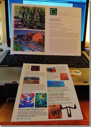
 This is a tiny thumbnail from the Gallery’s link to Gil Mutch’s pages. I was pleased to learn Gil is a woman. The Gallery has lots of works by women artists which is really nice to see. http://thejohnrussellgallery.co.uk/exhibition-archive/archive-2013/gil-mutch/ is the link to the painting, the top left corner. I thought it would be great in a bedroom with white walls and it could be the star of the show. I loved the vibrant colors and how the paint was clopped on in places to make the bedspread look even more textured. http://mutchart.co.uk/works_on_paper/home.html is the artist’s site and her pen and wash which I also really like.
