3 more locks along the Main having left Aschaffenburg at 7:05 am
Guten Morgen,
We left St Goar on the 28th and spent the next night in Bingen. We spent two nights in Frankfurt and last night in Aschaffenburg. Not sure about tonight as we’re not always sure whether we’re too big to get into certain yacht clubs or if they’ll have visitor berths. Or empty visitor berths. So far our luck (and Mary’s good planning) has been good and we’ve fit under bridges and not gone aground though Aschaffenburg was a really tight squeeze.
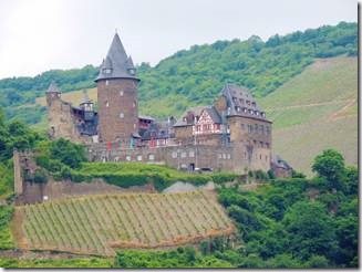
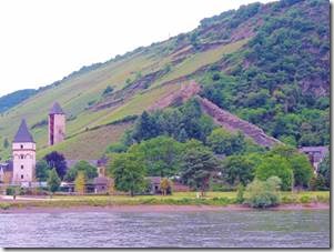
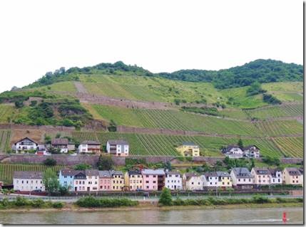
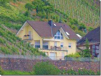
This email is photos taken between St Goar and Bingen along the Middle Rhine which has been designated by UNESCO as a heritage area.
Ru
Ps Thank you all for you anniversary emails.
http://whc.unesco.org/en/list/1066
“The strategic location of the dramatic 65km stretch of the Middle Rhine Valley between Bingen, Rüdesheim und Koblenz as a transport artery and the prosperity that this engendered is reflected in its sixty small towns, the extensive terraced vineyards and the ruins of castles that once defended its trade.
The river breaks through the Rhenish Slate Mountains, connecting the broad floodplain of the Oberrheingraben with the lowland basin of the Lower Rhine. The property extends from the Bingen Gate (Binger Pforte), where the River Rhine flows into the deeply gorged, canyon section of the Rhine Valley, through the 15km long Bacharach valley, with smaller V-shaped side valleys, to Oberwesel where the transition from soft clay-slates to hard sandstone, results. In a series of narrows, the most famous of which is the Loreley, no more than 130m wide (and at 20m the deepest section of the Middle Rhine), and then up to the Lahnstein Gate (Lahnsteiner Pforte), where the river widens again into the Neuwied Valley. The property also includes the adjoining middle and upper Rhine terraces (Upper Valley) which bear witness to the course taken by the river in ancient times.
As a transport route, the Rhine has served as a link between the southern and northern halves of the continent since prehistoric times, enabling trade and cultural exchange, which in turn led to the establishment of settlements. Condensed into a very small area, these subsequently joined up to form chains of villages and small towns. For over 1,000 years the steep valley sides have been terraced for vineyards.
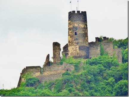
The landscape is punctuated by some 40 hill top castles and fortresses erected over a period of around 1,000 years. Abandonment and later the wars of the 17th century left most as picturesque ruins. The later 18th century saw the growth of sensibility towards the beauties of nature, and the often dramatic physical scenery of the Middle Rhine Valley, coupled with the many ruined castles on prominent hilltops, made it appeal strongly to the Romantic movement, which in turn influenced the form of much 19th century restoration and reconstruction.
The Rhine is one of the world’s great rivers and has witnessed many crucial events in human history. The stretch of the Middle Rhine Valley between Bingen and Koblenz is in many ways an exceptional expression of this long history. It is a cultural landscape that has been fashioned by humankind over many centuries and its present form and structure derive from human interventions conditioned by the cultural and political evolution of Western Europe. The geomorphology of the Middle Rhine Valley, moreover, is such that the river has over the centuries fostered a cultural landscape of great beauty which has strongly influenced artists of all kinds – poets, painters, and composers – over the past two centuries.
Criterion (ii): As one of the most important transport routes in Europe, the Middle Rhine Valley has for two millennia facilitated the exchange of culture between the Mediterranean region and the north.
Criterion (iv): The Middle Rhine Valley is an outstanding organic cultural landscape, the present-day character of which is determined both by its geomorphological and geological setting and by the human interventions, such as settlements, transport infrastructure, and land use, that it has undergone over two thousand years.
Criterion (v): The Middle Rhine Valley is an outstanding example of an evolving traditional way of life and means of communication in a narrow river valley. The terracing of its steep slopes in particular has shaped the landscape in many ways for more than two millennia. However, this form of land use is under threat from the socio-economic pressures of the present day……
A longer description of the area is also on the UNESCO site ending with the following paragraph.
The 20th century has seen major structural changes, notably the decline of the traditional winemaking sector and of mining and quarrying. Freight traffic has become concentrated on a small number of large harbours. The most important economic sector is now tourism. Ordinances of 1953 and 1978 have focused on the preservation of the cultural landscape, which is the main economic asset of the Middle Rhine.”
http://whc.unesco.org/en/list/1066
|
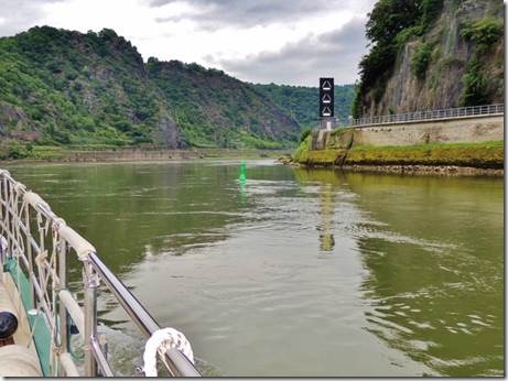
As we left St Goar we encountered these white bars “In certain parts of the river Rhine, luminous white bars advise upstream vessels about the presence of downstream traffic ahead.” EUROREGS For Inland Waterways Depending whether the bars are horizontal or angled you know if or how to proceed. |
|
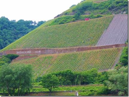
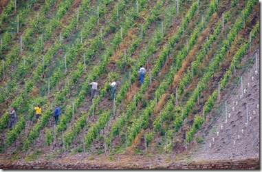
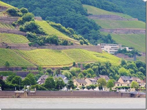
Bacharach was the centre of the Rhine wine trade in the later Middle Ages. Vines had been cultivated on the lower slopes since Roman times, and this expanded greatly from the 10th century onwards. Some 3000ha of vineyards were under cultivation by 1600, five times as much as at the present time. The Thirty Years’ War (1618-48) witnessed a substantial decline in viticulture, the land being converted partly into orchards and partly into coppice forest. The 14th-16th centuries were the golden age of art in the Middle Rhine, which saw the convergence of artistic influences from the Upper Rhine (Strasbourg) and the Lower Rhine (Cologne). Gothic masterpieces such as the Werner Chapel above Bacharach, the Church of Our Lady in Oberwesel, and the former collegiate church of St Goar date from this period. |
|
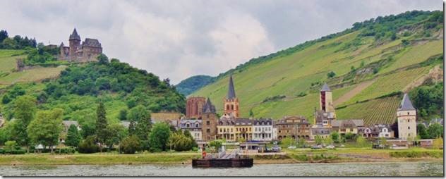
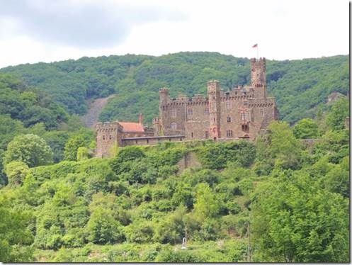
Small towns and castles along the Rhein or Rhine…. |
|
Backed up to the hillside |
|
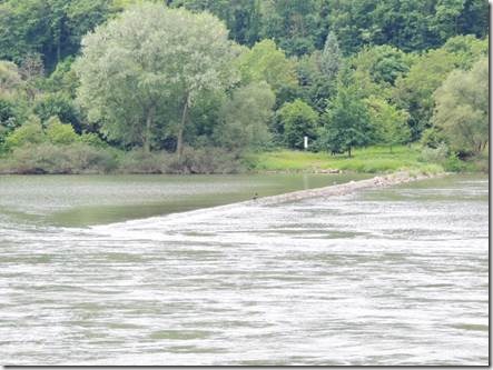
Dams to slow the flow of the river |
|
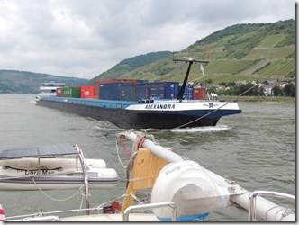
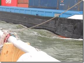
The Alexandra came a bit too close for comfort |
|
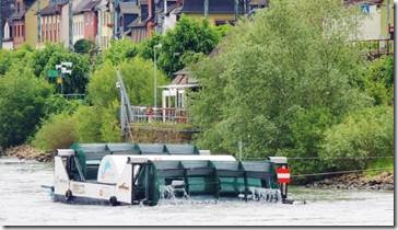
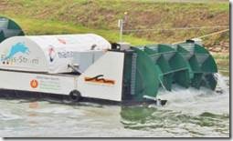
Generating electricity |
|
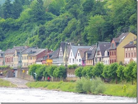
Rows of homes are built along the river, below the mountainsides |
|
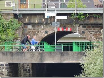
You can cycle along the rivers all the way to Turkey…and at times go much faster than we do. http://www.bikemap.net/en/route/219964-amsterdam-to-istanbul/#gsc.tab=0 |
|
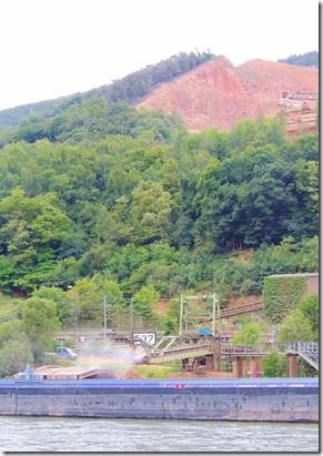
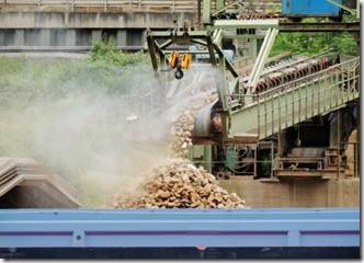
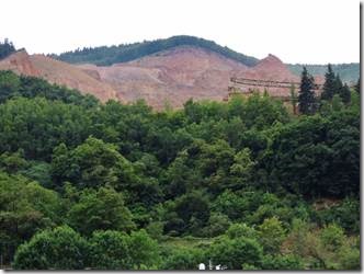
Not sure how this quarrying fits into the UNESCO Heritage Site |
|
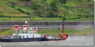
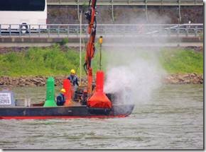
Workmen cleaning the red and green channel markers. Green on our right and red on our left. |
|
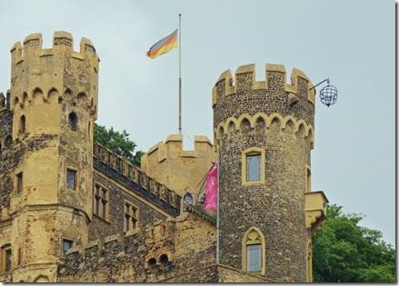
A gruesome example of a hanging cage and depending what you read people were either already dead and put in there for show or were put in there to die. Yuck. |

