Cheers,
It was a lovely walk in Pin Mill.
Ru
Pin Mill Bridlepath Walk
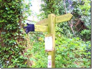
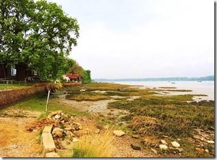
http://services.eadt.co.uk/http://services.eadt.co.uk/ will give you a map for a walk in the area if you happen to be near Pin Mill. You walk along the river bank and along plowed fields. We walked 20 minutes away from Pin Mill towards Chelmondiston and then reversed to get back for our noon reservation. We had to stop for me to take photos along the way and to just enjoy the scenery.
|
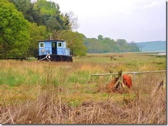
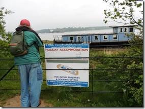
We wondered about this blue barge until we came upon this advert for a “holiday accommodation.” |
|
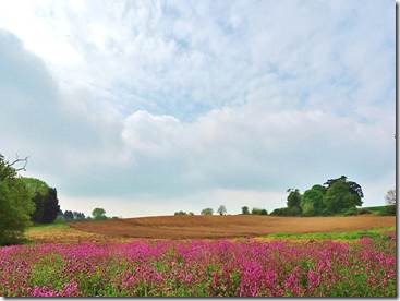
Plowed fields and purple wild flowers. |
|
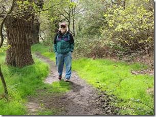
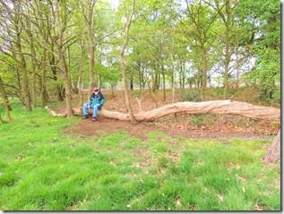
Path through some woods between the Orwell and the farm fields. |
|
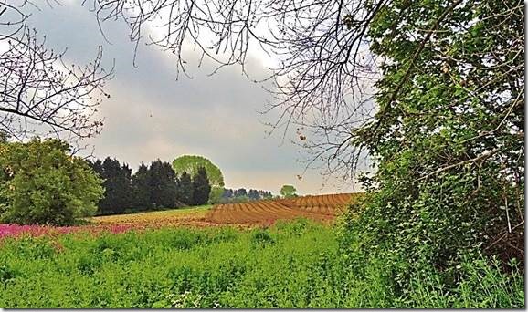
On the way home scenes had a different perspective. |
|
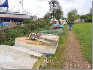
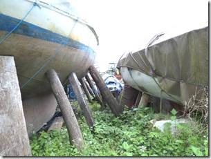
Walking through the boat-works in Pin Mill Common back towards the main road to catch the bus back to Ipswich. |
|
You know you are in a place of sailing ships when you see models in windows. |
|
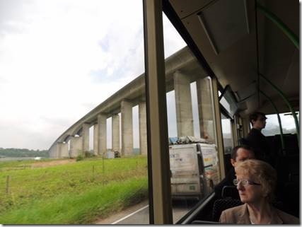
The Orwell Bridge which we sailed under on our trip from London to Ipswich. It was the only Ipswich landmark on my tea towel that I had no photo of; so now I do. “The Orwell Bridge was opened to road traffic in 1982 and carries the A14 (then A45) over the River Orwell just south of Ipswich in Suffolk, England. The main span is 190 metres which, at the time of its construction, was the longest pre-stressed concrete span in use. The total length is 1,287 metres from Wherstead to the site of the former Ipswich Airport. The bridge design took into consideration the impact on the Orwell Estuary, as well as the needs of the Port of Ipswich. The location close to the Southern edge of Ipswich was chosen to be convenient for the industrial areas of the West Bank Terminal and Ransomes Industrial Estate on the eastern end. The bridge was set at an angle to the river to get the best relationship to the surrounding terrain. “ http://en.wikipedia.org/wiki/Orwell_Bridge http://deadinteresting.blogspot.co.uk/2010/07/orwell-bridge.html is a macabre talking about deaths connected with the bridge. |
|
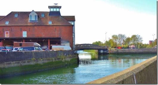
The Orwell Bridge replaced the small, usually busy Stokes Bridge just near the marina. “ There have been number of Stoke Bridges. There are records of a bridge existing on the site from the late 13th Century. The fact that the Domesday Book mentions Saint Mary at Stoke implies that a crossing existed much earlier. An iron bridge engineered by Ransomes was built in 1819, replacing an earlier stone bridge which was swept away in floods. It was replaced – as we show above – by the present southbound bridge which has a plaque celebrating the bridge’s erection over 1924 and 1925. A second bridge to carry northbound traffic was added in the 1982 (shown under construction on our Trinity House buoy page). The bridge was for centuries the southernmost crossing of the river in Ipswich until the construction of the Orwell Bridge in December 1982. http://ipswich-lettering.org/stokebridge.html |

