Tibet # 16 Road to Everest –part 2
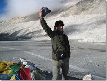
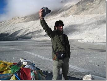
Ronnie taking one of the many photos that we all took of Everest.
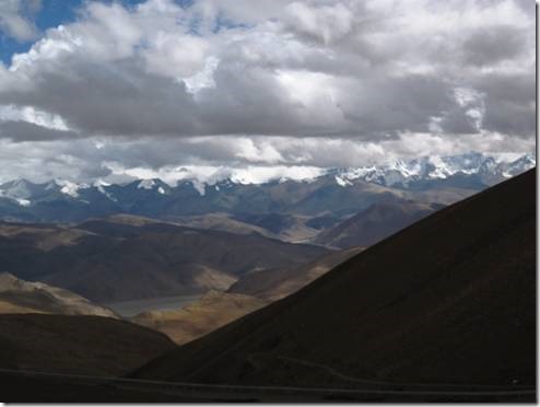
We kept wanting to stop and take photos because the view of the range was almost more amazing than eventually seeing the peak of Everest at the base camp. And with all of the clouds we worried that by the time we actually got there, the peak would be enclosed by clouds. Lobsang was very cautious about predicting how clear it would be when we finally arrived.
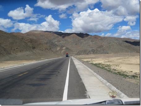
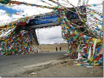
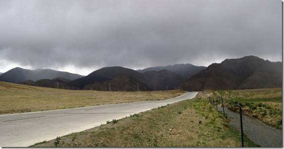
We had turned off the Friendship Highway and onto a dirt road, a long and windy dirt road!
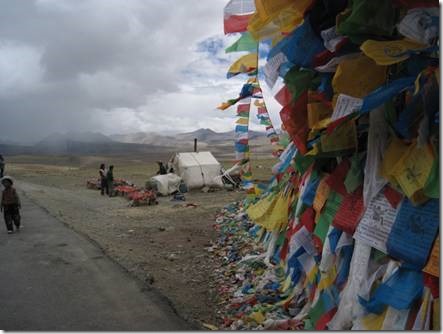
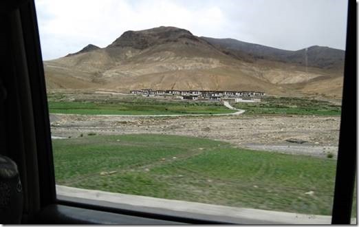
And then there would be a community because water was available; probably run off from the glaciers.
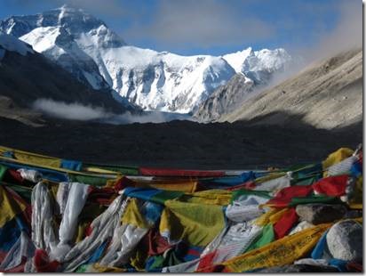
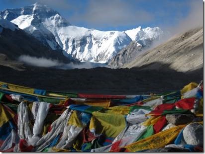
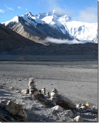
Looking towards Everest
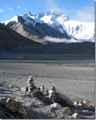
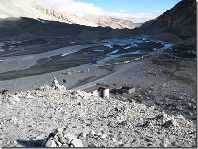
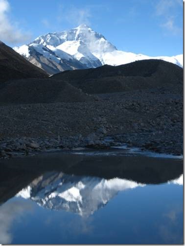
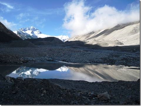
Looking back over road we’d traveled. I just fell in love with the landscape.
So did David and Ronnie.
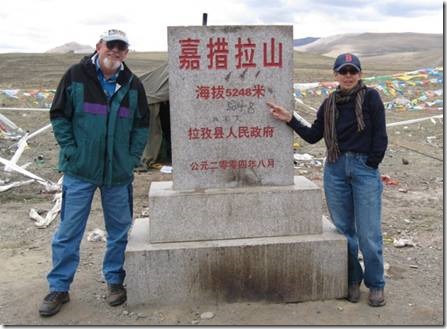
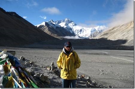
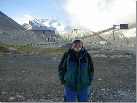
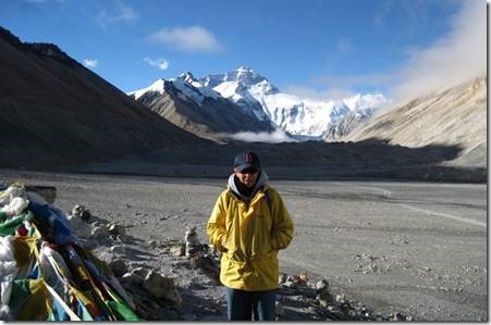
Here we are posing. It’s bright and sunny and I’m wearing a t-shirt but no sweater because it is quite warm.
We still had a distance to go.
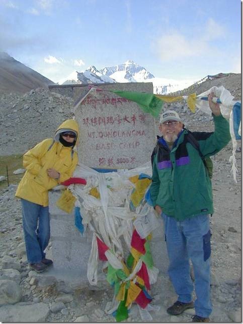
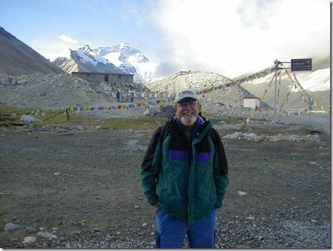
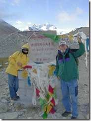
Here drove along the road towards base camp so we could take a bus to the actual spot with the Everest sign and as far as you can go. But, alas, when we arrived, the last bus had already left and we would have to walk a few miles if we really wanted to go. We weren’t allowed to take our own van. Randal didn’t want to walk and I wasn’t sure how I’d do, but David and Ronnie were determined so Lobsang left us in the van and he David and Ronnie walked part of the way. Lobsang left them to take their photos and then returned to the van. After about a half hour’s worth of photos, David and Ronnie came back, very happy, but very windblown and cold. They had wanted to capture the sun setting on Everest. Lobsang said that we would all go again the next morning when the bus would be running. We had gotten to the EBC late for a few reasons. We’d gotten a late start that morning because Lobsang had to go to get our Everest permits and that meant waiting for the “permit office” to open. And then we stayed a while at the monastery while he did that and then we kept stopping for photos. Would we have rushed along if we’d known the time of the last bus? I hope not. It might not have been the best possible planning on the part of Access Tours, but it worked out fine as it was.
We knew that our accommodations at EBC were going to be very basic. “Comfortable class hotel twin-sharing room accommodation in Lhasa, Shigatse, 3 star standard. The best available hotel in EBC area, Sightseeing hotel. (Still very poor due to the remoteness) That’s what it said in the info we received from Access Tours. During the 217 mile drive from Shigatse to EBC, Lobsang began to explain the choices we would have for the night at Everest. He said we could stay in a very basic hotel with no heat and no running water, a family homestay, or a tent right at the base camp. He seemed to say that the homestay would be best because the family would provide a yak dung fire for heat and local interest. The tents would have the best location for viewing Everest. He seemed to imply the hotel was a poor third option. At least that’s the impression I got. Randal had pretty much hated our Indonesian Long-house Homestay. And our friend Lydia had done a Tibet homestay in November of 2004 and said she’d never been so cold. I figured from past experience we wouldn’t be doing the homestay option. And when we felt the wind and cold near the tents while we waited for Ronnie and David, I knew Randal and I weren’t going that route either. I don’t know what David and Ronnie would have chosen under other circumstances. When they came back to the van Lobsang told us that he thought the hotel would be the best choice for all of us since it was so late; by then about 9 pm. We would all be in one location (easier for him to keep track of) and that’s where we could also get dinner. We all agreed and drove back to the hotel. It was basic. There was no heat or running water. But dinner was good and so was breakfast. The views were wonderful. There were plenty of blankets to keep us warm. I did wake up about 2 am and when I came back down from the second floor bathroom I got one of my altitude headaches. No way to take a hot shower so I took 600 mg of ibuprofen and spent a miserable night. If I hadn’t been so tired I would have taken my towel and wet it with the hot water from the huge thermos in our room and then put it on my face. It’s exactly what I did in the morning and it did make me feel better.
Ladies’ toilet and wash room. View from the ladies’ room
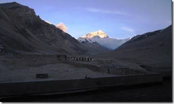
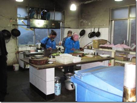
I ate noodle soup for dinner and a huge pancake for breakfast. The food was plain but good. We arrived at the hotel, checked in, ate dinner and went to sleep. We ate breakfast about 7 am and then checked out and drove off to go see Everest in the morning. So nothing much to show about the hotel.
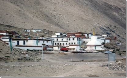
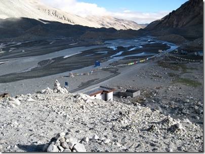
Across the dirt road from our hotel was the Rongbuk Monastery.
If our timing had been better, we were to have visited the monastery. But we needed our morning to visit the EBC so the monastery visit didn’t happen.
“Rongbuk Monastery lies by the foot of the Rongbuk Glacier at 5,100 meters (16,700 ft) above sea level, making it the highest religious building, as well as one of the highest-elevation settlements and overall structures ever built and colonized. It is only 200 metres (660 ft) lower than the north side Everest Base Camp of Mount Everest. ….It is accessible by dirt road – a two to three hour drive from the Friendship Highway, soon after kilometer marker 5145. (Those hours seemed to take us forever!)
Climbers must pass through Rongbuk in order to reach the highest peak of Mount Everest via the North Face. It has been described as having some of the most dramatic views in the world, presenting a panorama of the Shishapangma, Mount Everest, Cho Oyu, and Gyachung Kang peaks to visitors
http://en.wikipedia.org/w/index.php?title=Rongbuk_Monastery&printable=yes
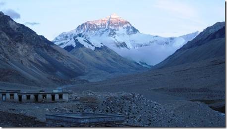
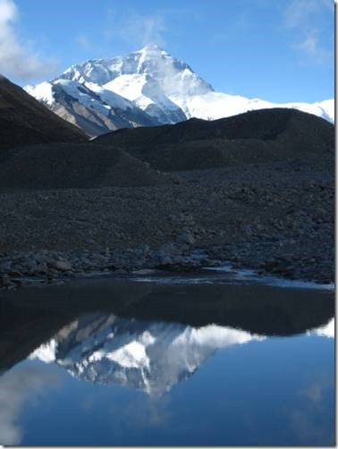
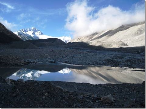
From the distance we saw parts of that cloud shrouded panorama and it was most amazing.
Our view at breakfast!
Next email: Base Camp
Ru
DoraMac
July 21, 2010

![clip_image001[5] clip_image001[5]](http://www.mydoramac.com/wp-content/uploads/2016/04/clip_image0015_thumb.jpg)
![clip_image002[5] clip_image002[5]](http://www.mydoramac.com/wp-content/uploads/2016/04/clip_image0025_thumb.jpg)
![clip_image003[5] clip_image003[5]](http://www.mydoramac.com/wp-content/uploads/2016/04/clip_image0035_thumb.jpg)
![clip_image004[5] clip_image004[5]](http://www.mydoramac.com/wp-content/uploads/2016/04/clip_image0045_thumb.jpg)
![clip_image005[5] clip_image005[5]](http://www.mydoramac.com/wp-content/uploads/2016/04/clip_image0055_thumb.jpg)
![clip_image006[5] clip_image006[5]](http://www.mydoramac.com/wp-content/uploads/2016/04/clip_image0065_thumb.jpg)
![clip_image007[5] clip_image007[5]](http://www.mydoramac.com/wp-content/uploads/2016/04/clip_image0075_thumb.jpg)
![clip_image008[5] clip_image008[5]](http://www.mydoramac.com/wp-content/uploads/2016/04/clip_image0085_thumb.jpg)
![clip_image009[5] clip_image009[5]](http://www.mydoramac.com/wp-content/uploads/2016/04/clip_image0095_thumb.jpg)
![clip_image010[5] clip_image010[5]](http://www.mydoramac.com/wp-content/uploads/2016/04/clip_image0105_thumb.jpg)
