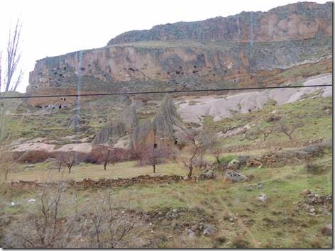
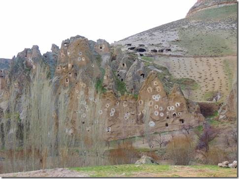
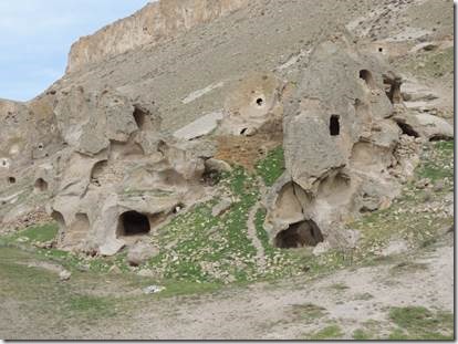
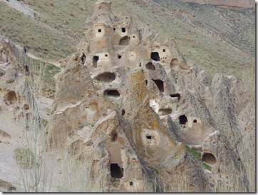
A vist to the Ünvers’ home

Merhaba,

A visit to the Sunday Jam Man

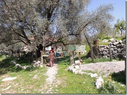
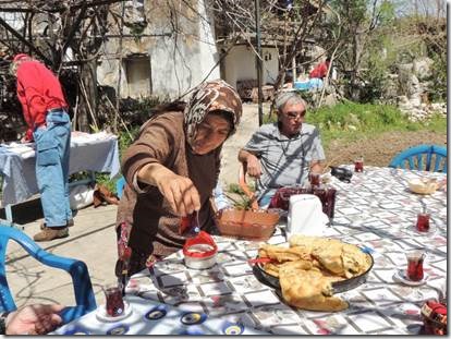
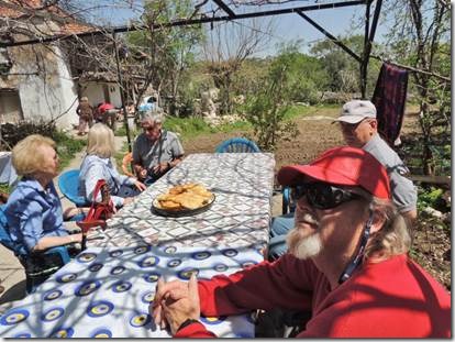
Selahattin Ünver  and his wife Reyhan visited  DoraMac while Randal was in China.  We were invited to visit them at their home in Amutalan and this past Tuesday we did.  Selahattin picked us up at noon and we drove to their condo.  Their friend Suzanne, a Dutch woman who works for the Dutch Consulate and Dutch tourism was also there to help along the conversation.  She is fluent in English and Turkish as well as her own Dutch and probably other languages as well.   She and the Ünvers became friends over the jam also.  The jam comes from Reyhan’s brother who lives further north-west and Selahattin sells it at the Sunday market in Beldibi on Sunday , Thursdays in Muḡla and also at the Gökova market.  It keeps him busy in his retirement from the Turkish Coast Guard.  

clip_image001

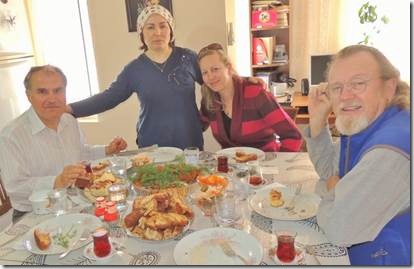
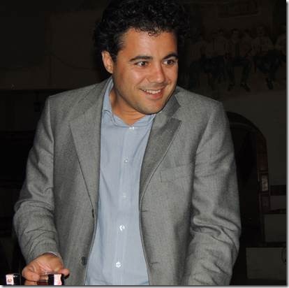
Selahattin, Reyhan, Suzanne, and Randal

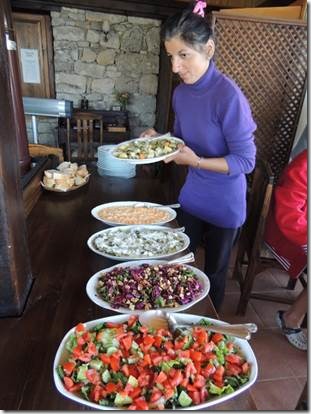
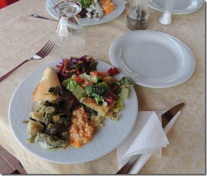
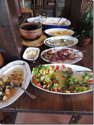
There was a wonderful bean/wheat stew Keṣkek or something that sounded like that.  It was topped with a buttery pepper sauce that would make any foodie swoon.  And the spicy red lentil balls and the cinnamon rolls and bread and apple cake …  and gallons of Turkish tea.


clip_image002

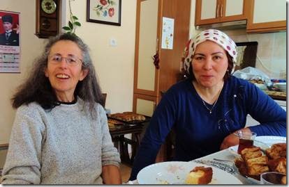
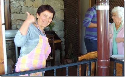
Reyhan and me.

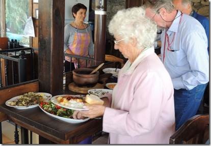
Reyhan is a wonderful cook and everything tasted great!  There was enough food for 50 and only 5 of us to eat it.  Suzanne and we were sent home with bags of food!


clip_image003

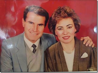
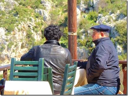
  From their lives in Istanbul.  Don’t they look like TV News Anchors?


clip_image004

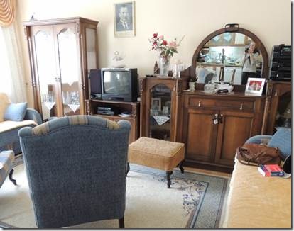
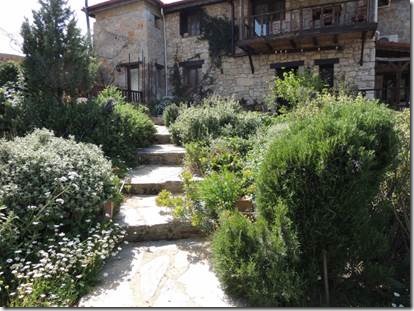
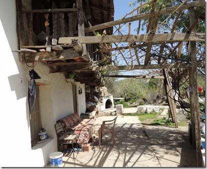
Their lovely condo with a photo of Turkish hero Ataturk.


clip_image005

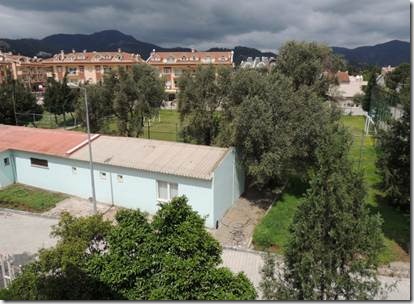
From their 3rd floor balcony is a lovely view of the mountains.


clip_image006

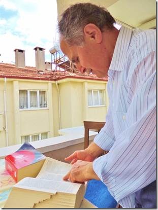
Suzanne had to return to work so Selahattin and I resorted to our dictionaries.

Cappadocia Trip: Drive to Antalya and then home

Merhaba,

   Randal is in high gear doing boat work so we’ll be ready to head on off across the Mediterranean to England by early June.  I have been working to finish writing about our Cappadocia trip before we leave on our 8 day ”Gwen” tour of the Ankara region.  This email is the final episode; long episode.  It includes our two last days of travel.  A good deal of that time we were on the bus, but that couldn’t be helped.  It’s a long way from Cappadocia to Marmaris.  But the bus was comfortable and we had plenty of comfort stops.  Now it’s time to pack for Ankara!

Ru

Cappadocia Trip: Drive to Antalya and then home

     We left Avanos fairly early because it was a long, LONG drive back to the coastal city of Antalya, our final overnight stop.  Randal and I had missed staying in Antalya in 2011 as we’d taken a wrong turn and going back was not in the cards. (We spent the night in Kemer which we both pretty much didn’t love at all.  Too much like Marmaris without the charm. )   So now we have been to Antalya and we can say we’ve been there but it’s not my favorite place in Turkey.  It is however the favorite of many, MANY people……..

    “Antalya, the gateway to the Turkish Riviera, has trumped Istanbul as the country’s most popular destination. According to the Turkish Ministry of Culture and Tourism, Antalya tied with Singapore City, welcoming 9.2 million international visitors in 2010. So what’s the draw? For one thing, Antalya offers tourists a break from the hustle and bustle of a metropolis: Traditional Turkish culture thrives here, not urbanization. And this Mediterranean city’s perch on the Gulf of Antalya also appeals to sun-seekers, as it has for centuries. History-buffs visit Antalya to revel in the Ancient Roman ruins, many of which were constructed for sun-worship.” http://travel.usnews.com   Paris was 1st, London 2nd and NYC 3rd

Between Cappadocia and Antalya we made 4 stops; all lots of fun.

“In the middle of the flat, flat plain between Konya and Aksaray, at a lonely point on the ancient Silk Road, Seljuk Turkish Sultan Alaettin Keykubad I built a caravanserai, or caravan way-station between 1229 and 1236.  It was named, appropriately, the Sultan Han (han meaning caravanserai).   This truck-stop-for-camels was no doubt impressive, but it was in 1278 after a fire had damaged the original building that the great caravanserai took its present shape. It is the largest Seljuk caravanserai in Turkey, and well worth a stop to see if you are traveling between Aksaray (or Cappadocia) and Konya.”http://www.turkeytravelplanner.com

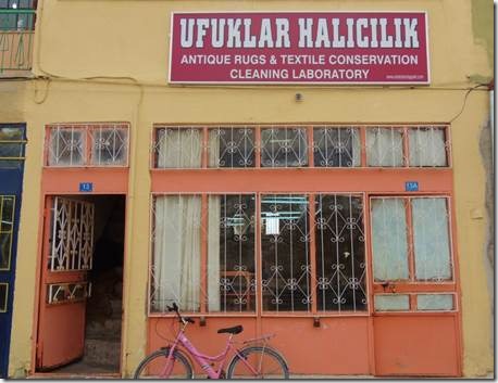
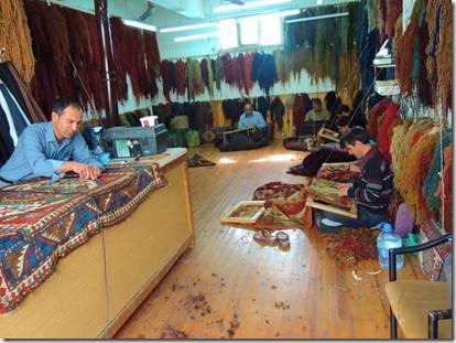
In Famagusta, North Cyprus we’d visited the Bὕyὕk Han several times so I skipped the Sultan Han with its entrance fee in favor of a visit to the WC, a cup of coffee, and then a walk down the street.  I came across this carpet repair shop and was peeking in the door when the man inside motioned me to come in.

clip_image001

Sultanhani, Aksaray  http://www.anatoliantappeti.com/

http://www.anatoliantappeti.com/ is their page that shows before, during and after photos of restored carpets.

clip_image002

The man working at the table seemed to be in charge and he knew a bit of English so between us we could have a few sentences worth of communications.


clip_image003

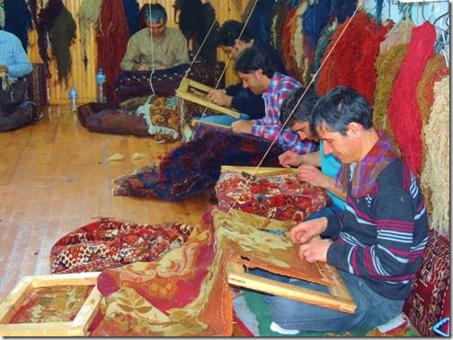
Women weave carpets and men repair them…


clip_image004

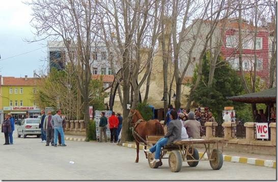
No camels but a horse-drawn cart.


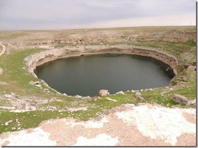
Our next stop after  Aksaray  was a giant sink hole.

clip_image005

http://link.springer.com/content/pdf/10.1007%2Fs13146-011-0044-7#

Obruk Han Gölü, doline (sinkhole) behind the old caravansary

30 meters deep

“75 km to the east of Konya a street turns near the village Kizören to the north away from the D 300 towards the village named Obruk. After about 3.5 kilometers one reaches a big 145 meters wide, oval doline with a cross section dimension from 200 – 230 meters. The doline is situated a few meters away from the street hidden behind the big historical Seljukic caravansery Obruk Han from the year 1320, so that one sees the doline first if one stands close the brim.” http://www.geocaching.com/


clip_image006

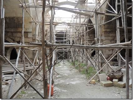
The Seljuk  caravanwery near just near the sink hole…being reinforced.


Since it was like forever, or at least an hour or so since our comfort stop, we had a stop for lunch.


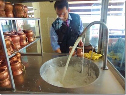
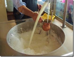
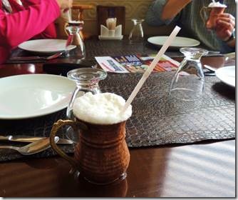
More Ayran, notice the foam in the tub being bubbled up by the flowing Ayran.

clip_image007 clip_image008 clip_image009

The Ayran is topped with scooped up foam…kind of like beer but Not though it does have a slightly fermented sour taste. 


clip_image010

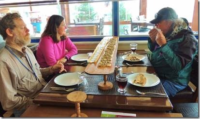
This order of Pide was just for Randal and me!  Mary and Rick had their own.  Of course there were lots of left-overs which Taṣ collected for stray dogs we met at each stop.  Sometimes when we order we just have no clue.


After lunch we were driving along and passed some blue industrial buildings.  Randal and I had passed the same buildings on our motorbike in 2011.  It was quite amazing to recognize them in what was seemingly the middle of nowhere.  But they are located on the outskirts of Seydisehir which is just 25 kilometers from the Tinaztepe Cave, our planned stop on the way to Antalya.

http://www.mydoramac.com/wordpress/?p=7574 is the story of our stay in Seydisehir which was very restful and where people were very kind.  We’d gone there planning to visit the Tinaztepe Cave but were just too tired to drive there, spend hours at the cave and then drive back to Seydisehir. 

clip_image011

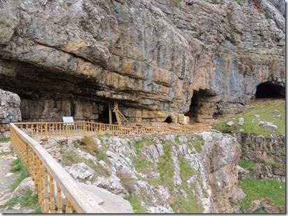
Tinaztepe Cave

Going through the cave can take an hour or two so some of us just hiked up to the entrance.  It was very cold and blustery with snow covered mountains nearby.  This stop really was just for “comfort” and coffee at the small restaurant near the parking lot. It was still a long way to Antalya so only a short “stretch your legs” stop at the cave was possible.

Tınaztepe Cave System

Location: Konya, Seydişehir District

The Tınaztepe Cave System is at the Keçili Village locality which is at 35 km. southwest of Seydişehir. The cave is at 5km west of Mortaş Aluminum bed. The Seydişehir-Manavgat highway passes close to the cave.

Properties: This cave system has developed inside the Creates limestone and is formed by three layers one on other. The upper layer having 100 meters length is completely fossilized. The intermediate layer has 1015 meters of total length and is semi active. Water flows Inside this layer at precipitant seasons and it ends with a siphon. The lower layer is a branch developed on a big fault and is active displaying sinkhole cave characteristics. In precipitant seasons, the surface waters of a wide area flows here. These waters flow inside the Susuz Güvercinlik Cave which is at southeast and come out from the springs near Suğla Lake. The explored length of this active cave until now is 527 meters. But the total length of this cave had not been completely determined. The deep but narrow lakes and siphons inside this cave makes the explorations difficult.

http://turkiyeninilleri.tr.gg/Konya.htm

I looked up lots of sites to check the length of the Tinaztepe Cave.  Most give the same numbers but most only use the letter m rather than the word meters or miles.  Mi is the abbreviation for miles and M is the abbreviation for meters.  And most sites mention other lengths in kilometers so I’m thinking that m stands for meters.  However, the info brochure from the cave says  Tinaztepe Cave is the 3rd longest in the world as does the following website. 

Located in the Konya district of Seydisehir, Tinaztepe Cave is the longest cave in Turkey and the third longest in the world.  The cave is 22 km/13.7 miles long. Best time to visit is in Turkey when the water level decreases and the gallery can be explored by foot.   http://www.turkeylogue.com/caves

I have no local library so I can’t look up the real answer. 

We arrived just at dark in Antalya where everyone gets lost at least once upon arriving.  Randal and I missed the city entirely in 2011 on our motorbike trip..  Rick, Mary and their son Robert along with Dale and Joanne had gotten lost the weekend they’d gone to Antalya.  So even with Taṣ using Google maps we got slightly lost trying to find our hotel.  Our driver was amazing as he backed up narrow streets and then into the tiny hotel parking lot.  We had a late dinner and then an early bedtime.


The next day we visited Upper Duden Waterfalls and old town Antalya before making the long drive back to Marmaris.


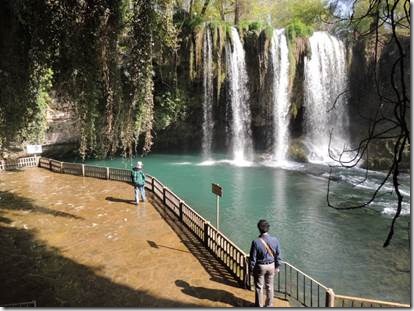
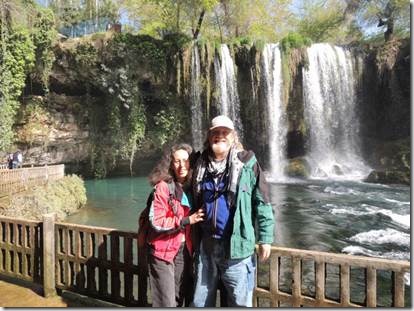
Our first stop of the day was Upper Duden Waterfalls about 5 miles northeast of Antalya.

clip_image012

Randal and Taṣ.

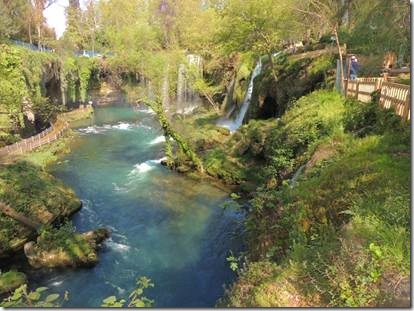
The Upper Düden Waterfalls,are located 14 km northeast from the centre of Antalya. The waterfalls, formed by a karstic depression, are 20 metres high. The location of the waterfalls has the appearance of a botanical heaven thanks to the rich variety of plants. In the deep valley formed by the falling and flowing water of the waterfalls there are promenades and trout restaurants " http://www.turkishclass.com/turkey_pictures_gallery_85

clip_image013

Randal and me


clip_image014

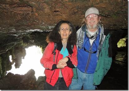
Cave of Wishes:  I’m sure mine involved world peace and the Boston Red Sox

    To use the flash or not to use the flash….  We used the flash so you can see us but can’t see the water falling in back of us.

“By entering into Dilek Magarasi (Cave of Wishes), located underneath the waterfalls, it is possible to walk behind the rushing cascade or sit and admire the might and splendour of the waterfalls from inside the catacombs.”


clip_image015

Walking along the trail of the Upper Falls.


clip_image016

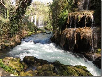
“After 8km the water from the falls forms a small creek, creating a magnificent spectacle as it cascades over the 40 metre high falez rock into the sea, as Lower Düden Waterfalls on the way from Antalya to Lara Beach.”


From the Falls we drove to Old Town Antalya


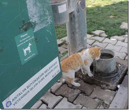
clip_image017

The dog image encourages folks to clean up after their pets… though cats usually clean up after themselves.


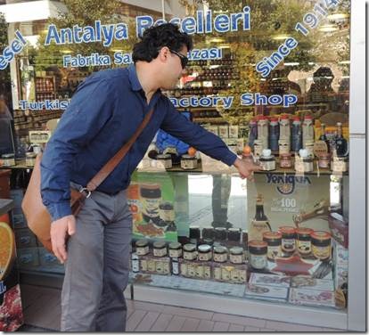
clip_image018

Taṣ pointing out the jams the Antalya region is famous for.  We skipped it as we buy our fruit spread from Selahattin ὕnver, our friend at the Sunday Market whose home we visited this past Tuesday.


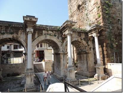
clip_image019

Antalya ruins


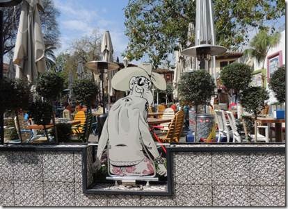
clip_image020

clip_image021

Modern moderns.


clip_image022

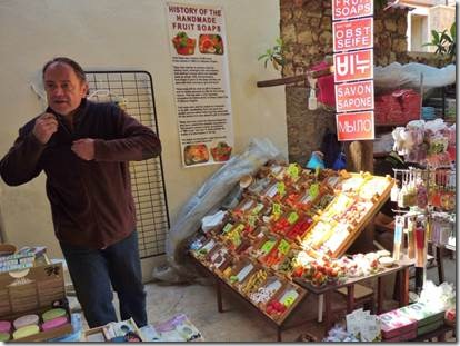
http://www.ottomanscent.com/fruits_soaps-ottoman_scent.html  explains the history of these lovely soaps shaped as fruit.  This gentleman made the soaps for sale in this tourist shop we’d peeked into.


clip_image023

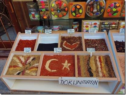
Spice art similar to sand art. 


clip_image024

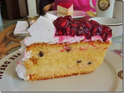
A snack to tide us over until lunch: pomegranate cake and coffee.


clip_image025

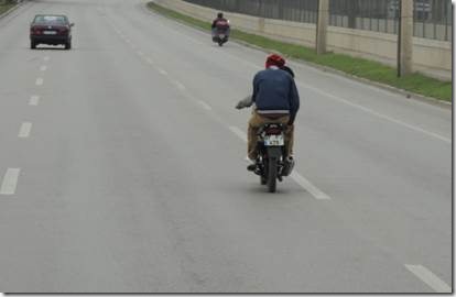
We all gathered back at the bus to continue our journey home.  These two insane boys were doing stunts on the high way, rearing up on the rear wheel.  Not sure if they are still alive or this is the last photos of them ever.


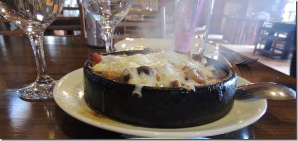
Half way home we stopped again at the House of Mushrooms for lunch.  Instead of soup many of us ordered mushroom caseroles.  Some came with meat.  Some with chicken.  My choice was just mushroom with cheese. 


clip_image026

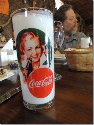
Sales have dropped in the US so Coca Cola is invading Turkey.


clip_image027My steaming hot sizzling mushroom casserole.

The End

Turkish Night Belly Dancer

Merhaba

    Turkish Night  Part 2   Belly Dancer and Irina

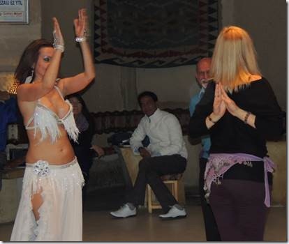
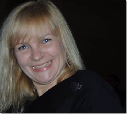
The belly dancer performed and then chose folks to compete in a belly dancing contest.  Our Irina took part and won the hearts of the audience. 

Ru

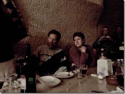
clip_image001

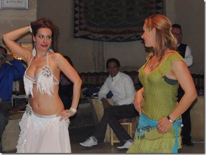
Hollywood film star photo….

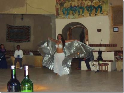
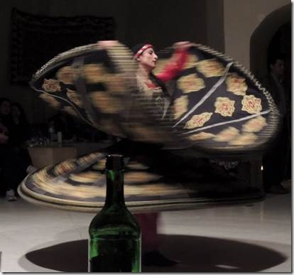
The lights were dimmed and the belly dancer appeared……

clip_image002

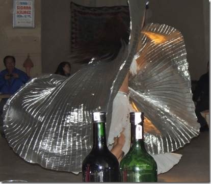
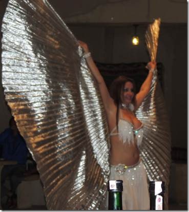
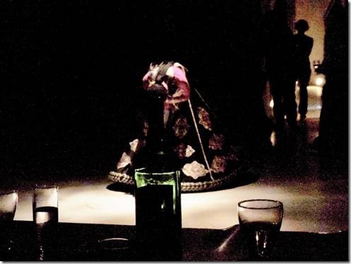
She was quite impressive…the wine bottle enjoyed the performance from their front row seat.

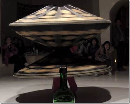
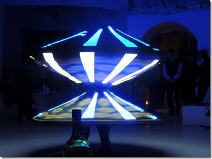
clip_image003 clip_image004

Victoria’s Secret

clip_image005

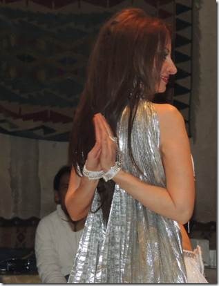
I actually can almost do this…..

clip_image006

clip_image007


After a bit, the fun started with the “audience participation.”


clip_image008

Irina’s turn and she was really pretty good!

clip_image009


clip_image010

Almost..

clip_image011


The next contestant was almost as cute!


clip_image012clip_image013clip_image014

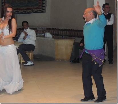
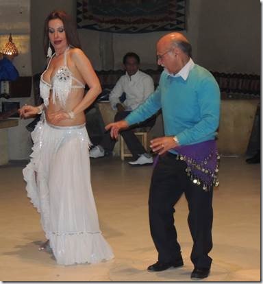
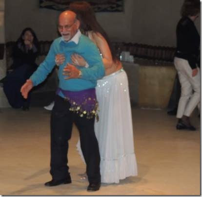
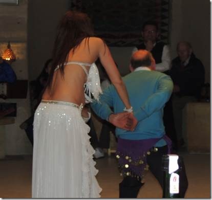
He certainly had lots of fun and it was fun for those of us watching.

clip_image015 clip_image016

She actually did the same thing to Irina!


clip_image017

Not a prayer.


clip_image018

The third contestant…wasn’t as sparkly as Irina or a little cute old guy so she didn’t have a prayer in the applause-o-meter. 


There was one final act that involved the all the cast and a huge Turkish flag and then it was time to go.

clip_image019

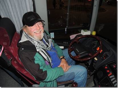
Even though it was only 5 minutes back to the hotel there was no way Randal was going to drive our bus.  Our driver had the keys.  But Randal had fun sitting there and surprising a few folks.

Turkish Night 1

Merhaba,

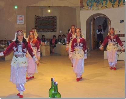
    Turkish Night  was a little” hokey”, but everyone had fun and that’s the point.  We ate, drank and made merry.  No research needed.  Men and women came out dressed in folk costumes from different areas of Turkey and performed dances and skits and then there was the belly dancer who deserves an entire email for herself along with Irina who was brave enough to take part in the act.

Definition of hokey:  “Two glasses of wine and he gets unbearably hokey”; corny, sentimental…

http://dictionary.reference.com/browse/hokey

Two glasses of wine and who notice if it’s hokey or not!

Ru

clip_image001

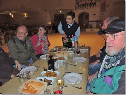
The food at Turkish night was Okay…not the star of the show.  There was plenty of cheap wine and Raki to insure everyone had a good time.  I’d overdone the wine in Eḡirdir so kept mine to the minimum.  I enjoyed sharing the good time with good friends; but my heart was back in Soḡanli.

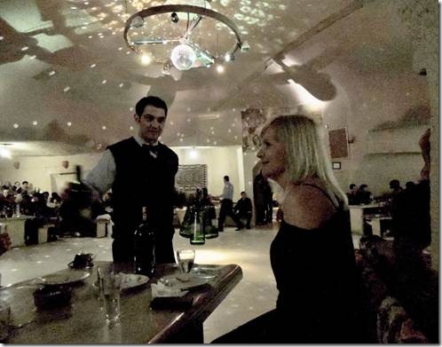
PS  Note our waiter opening the wine bottles at the end of the table…you will see the bottles in almost all of my photos.  That was not the plan but I didn’t notice it until going through my photos afterwards.  (Sort of like the Diet Coke can in my Florence, Italy photo.)


clip_image002

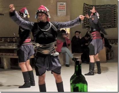
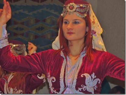
Folk costumes and wine bottle

clip_image003 clip_image004

Red costume and wine bottles

clip_image005

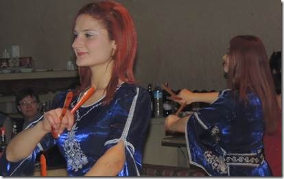
Blue costume, wine bottle cropped out:  same red haired dancer from previous photos.


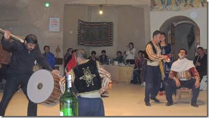
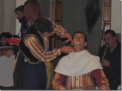
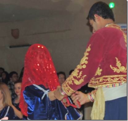
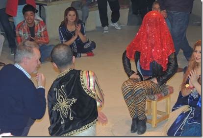
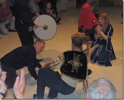
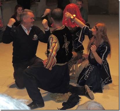
The next set of photos seemed to be the reenactment of a wedding complete with the groom being tidied up, some audience dancing with our pals involved, and then a competition for the bride.  One of our group took on the role of the “foreign competitor.” 


clip_image006

clip_image007

The groom.

clip_image008

The Bride


clip_image009

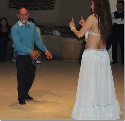
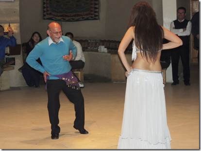
The man in the blue sweater was on our tour; he was competing for the bride.

clip_image010

Push-ups

clip_image011

Who’s stronger?


clip_image012

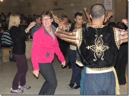
Irina in black and Leslie in pink had taken part in the dancing


clip_image013

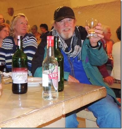
Randal took part in the wine, but he wasn’t driving us home…or was he?  Cindy in the stripes watches the show.


clip_image014

Mary and Rick    It really was this dark around the tables


clip_image015

Rick and our friend Cindy’s niece Vicky look like they are having a drink in Casablanca.


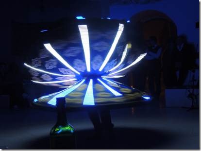
Then came the lady in the hoola-hoop skirt…which was pretty spectacular


clip_image016 clip_image017clip_image018 clip_image019

clip_image020

Taking a final bow…with the wine bottle.


clip_image021

Our ever cheerful guide Taṣ

Next email: Irina and the belly dancer!

Soḡanli Part 2

Merhaba,

   We’re off to Ankara Saturday so I really need to finish writing up our trip to Cappadocia.  Here is part 2 of our visit to Soḡanli,

Ru

Soḡanli Part 2

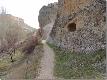
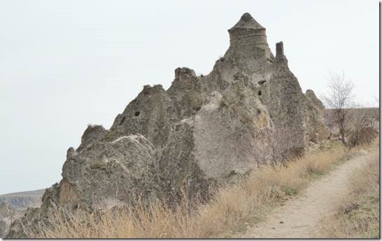
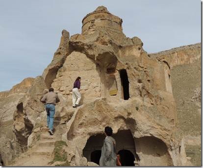
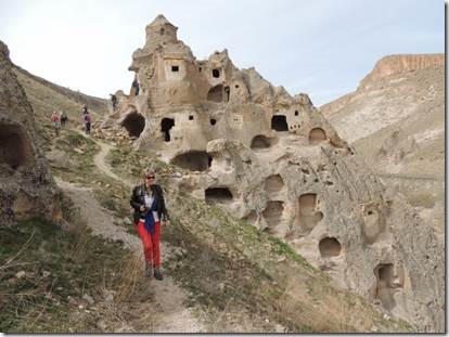
We crossed the Soḡanli River and hiked to the Church with the Hat (Dome) and the Hidden Church.  I don’t know if this is all looking pretty much the same to you but when you’re there, if you love it, you can’t get enough.  I love the semi-arid landscape so this is just wondrous to me.


“From the Yılanlı Kilise, paths head off in two different directions, but if you walk straight ahead and cross the small stream you will soon be heading uphill towards the 14th-century Kubbeli Kilise (Church with a Dome) that makes Soğanlı stand out from the rest of Cappadocia. Here, uniquely, the top of a natural rock formation has been shaped into a dome — perhaps in imitation of an Armenian church. Inside the two-storied building you will find more frescoes as well as the rock-cut altars and columns typical of the area.” http://www.todayszaman.com/


clip_image001

The trail up from the river or maybe just a stream and what I thought was the Soḡanli River wasn’t the river at all.  I just don’t know.  It was pretty easy to step across at one point.


clip_image002

The Church with the Dome


clip_image003


clip_image004


clip_image005


clip_image006


clip_image007

This is the photo I have next after the Dome Church but I’m not sure if it’s the Hidden Church or not or it might be the view from the Hidden Church.  I guess it was really well hidden though I did go inside. 


…………The Church of Hidden……….

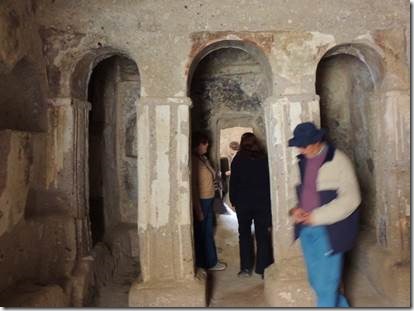
The basement small domed church is named as The Church of Hidden.

There are other rocky settlements nearby The Church of Hidden. However they are not as valuable as the others. You can enter the church from its north door. It has there adjacent rooms in its south.

A narrow and long corridor was built in the narthex part. This corridor has four halls and a window looking to the west. The adjacent room is a large one. There are four big niches and graves in its walls.


clip_image008


clip_image009

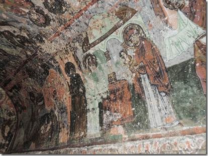
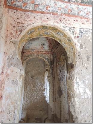
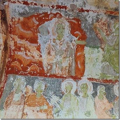
Faces were scratched out at different times for different reasons.

Iconoclasm was one reason.  But I also read that sometime the eyes were taken as good luck when the religious were forced from the area. 

clip_image010

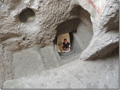
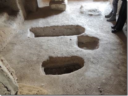
Not sure if I read/heard that these were some type of burial chamber.  I definitely need a well-stocked local library.


clip_image011

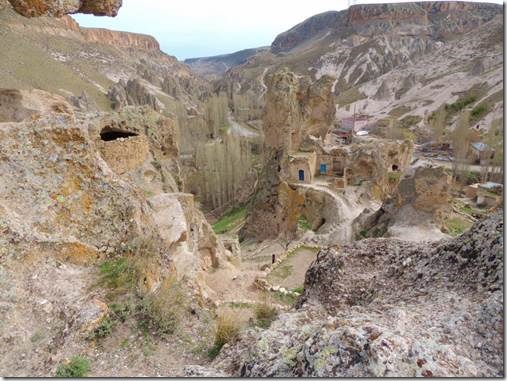
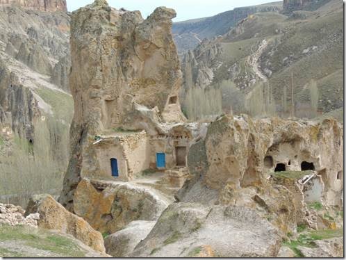
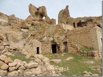
Heading back down to the river past an abandoned village.


clip_image012

I don’t know why they were abandoned…fear of earthquakes, more modern options, former home of Greeks….


clip_image013

Very picturesque


clip_image014

http://www.crazyguyonabike.com/doc/page/?page_id=316725 is a lovely review of this small pension and some wonderful photos of the area by a couple mountain-biking their way through Cappadocia this past March.  This blog also shows a photo of the caves used as cold storage for potatoes.  Being on a bus rather than a bicycle we didn’t have the road space to stop and take a photo.  I am jealous that I’m nowhere in any shape to have done that ride.  But once upon a time…..


clip_image015

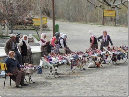
Ladies selling traditional dolls that I regret not buying, but whose to buy?


clip_image016

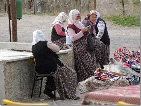
I like the long skirts and vests which actually look quite comfortable in the chilly weather but would be really too hot in the warm weather. 


clip_image017 clip_image018

Lunch time where we had choices of omlette, chicken or beef along with meze and a variety of desserts.


clip_image019

Can’t beat the setting!


clip_image020

Lots of folks chose Ayran to drink.  I prefer my yogurt straight. 

http://ayran.com/  explains this yogurt derivative drink.

Plain Ayran

1 1/2 cup plain yogurt

1 1/2 cup water

1 tsp salt

This is very straight-forward but tastes great: Put all of the above in a blender. Mix for about 35-40 seconds. Pour into glasses. Also after blending, at the top, you will see bubbles and that’s the best part. Makes 4 portions. The drink shouldn’t be


clip_image021

My favorite are the ladies and their local fashions.  They look comfortable while half of us were complaining that our jeans were feeling snug from the meals we’d been eating. 

clip_image022

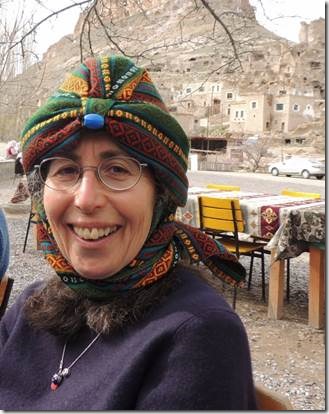
My fashion statement!

I think the blue bead needs to go.  I actually wore my hat/scarf today under my rain jacket and it really does the trick.  Everyone on our trip said it “looked like me” and I’m not sure exactly what that means.  I did get lots of compliments from the Turkish locals. 


clip_image023

Turkish painted desert.

All too soon it was time to get back onto the bus and head back towards Avanos.  We still had to stop at the Carpet Showroom for “yet another carpet lesson.”   We really don’t mind that at all especially Randal who really is quite interested in carpets.   I’ll leave that for last as I’ve written about carpets before.   So next email will be the evening’s Turkish Night.

Time for lunch on the mystery tour

Merhaba,

This is the final email of our mystery day.  Notice there hasn’t been much food so far?  Now it’s time for food.

Ru

Yediburunlar Lighthouse   http://www.yediburunlarlighthouse.com/

Our final stop of the day was for lunch, or maybe a very early dinner!  It was a spectacular location and since we’d had our gὄzleme and tea in Sidyma even I could hold out. 

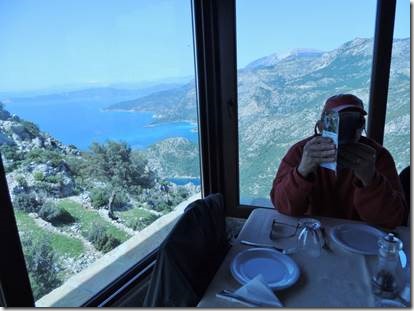
clip_image001

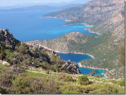
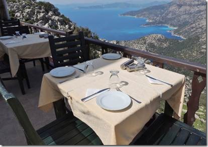
The view from the restaurant!

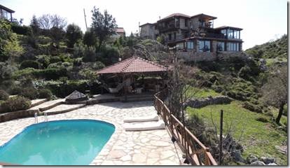
Yediburunlar means seven noses.  There are seven headlands and bays along this part of the coast, hence the name.  “The Yediburunlar Lighthouse is located in the mountains, at an altitude of 570m, overlooking the sea on Turkey’s South West coast halfway between Fethiye and Kalkan.” From their website.  570 meters is about 1800 feet.  Not sure where or if there really is a light house.  We didn’t see one.


clip_image002

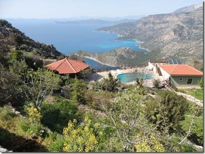
The view from one of the free standing guest houses.


clip_image003

Looking back towards the restaurant from the pool area.


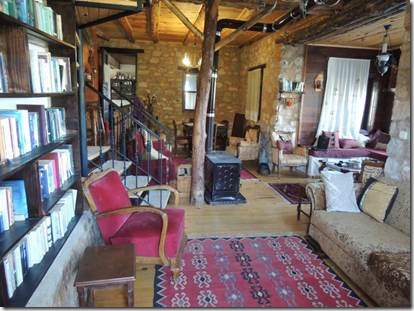
clip_image004

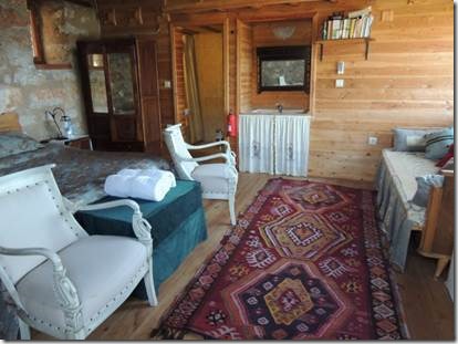
This room was in the main building and was really inviting…had we been overnight guests.


The lighthouse is owned and run by Leon, a South African, and Semra, a Turk. They met on holiday near Antalya and found the site together, building it painstakingly by hand using traditional materials and methods. "We didn’t have any choice," says Leon. "There was nothing here – no water, no electricity, just stones."

They’ve done an amazing job. It’s enough to bring one over all Kevin McCloudy, saying things about how the organic use of materials almost moulds the building to its landscape. And inside it is, if anything, even lovelier: all polished boards, old kilims and embroidered linens.

There’s a generator now, for electricity, but still no water, so every couple of days Leon drives his truck 20 miles to a petrol station, fills it with water and drives back. Meanwhile, Semra cooks delicious, multi-course vegetarian feasts for their 12 guests. It’s as full-on a job as any could be. Their living space is in the room we eat in – which is presumably why they only eat with guests one night a week. I can’t say I blame them, but it makes me fear the communal dining experience all the more.

In the end, though, it’s all quite jolly. I couldn’t do it for a week, and it’s not how I’d spend a romantic break à deux, but the food is delicious, everyone’s friendly and it gives me and my mum a break from bickering at each other.

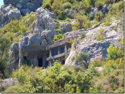
In the morning, Yediburunlar seems even wilder and more remote. The lush vegetation of Kabak and Faralya is a distant memory. It’s so much starker up here. Water is scarce and the land is rocky, every inch of it terraced and planted with olive trees, and flung here and there are bits of ancient detritus. We spot a vast Lycian sarcophagus in an olive grove and, sitting on the terrace for breakfast, I glance down beyond Leon’s latest piece of handiwork, a swimming pool perched on a ledge beneath the house, and notice rock tombs carved out of the cliff-face below.

"Oh yes," says Leon, casually. "We have our own tombs."

He has also mapped the surrounding paths so you can wander off by yourselves, which we do one day. On another, we join a Leon-led group on a walk up to the ancient site of Sidyma, a great unenclosed jumble of tombs and masonry, simply lying about the place. http://www.guardian.co.uk

clip_image005

It was a bit breezy when we arrived so we did sit inside but you still had that spectacular view


clip_image006

Outdoor dining would have been great earlier in the day.


clip_image007

Starting to set out lunch for our group


clip_image008

I believe this woman is the sister of the owner who was away in Istanbul


clip_image009

Joan, who will be 88 soon prepares a plate for Bill who was sort of trapped behind the table.


clip_image010

Ginny and Colin enjoying a cold beer with lunch


clip_image011

I loved it all, even the spicy green beans though the cauliflower cheese dish was everyone’s favorite.


clip_image012

We pretty much ate it all!  I think there were about 14 of us plus Taṣ and our driver.


clip_image013

Taṣ and our bus driver eating in peace


clip_image014

Stairway from the main building down to the pool and to the guest houses.


clip_image015

A peek into one of the small guest buildings, they have small fireplaces too.


clip_image016

Markers to show the way to Yediburunlar.


clip_image017

It was just a beautiful location.

We then loaded back onto our minibus and headed for home, a couple of hours away.


clip_image018

Atakὄy  Our last “comfort stop” had a lovely “ladies” with Turkish pottery sinks.


Part 2 Sidyma on the Lycian Way

Merhaba,

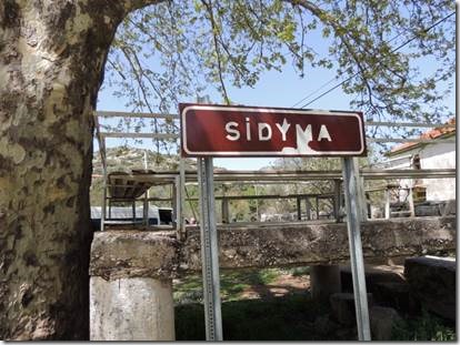
   It’s bright and sunny and very windy here, gusts of 41 knots on our wind indicator here in the marina.  This is part 2 of our Friday “mystery tour.”  It’s a mystery  because Gwen likes to surprise people with new places they maybe haven’t been to.   It’s always fun with at least 2 or 3 food stops. This email is about the lovely village of Sidyma that would easily be a favorite if we lived nearby.  It’s a few hours from here but up a wonderful road for motorbikes!  Sidyma is located on the Lycian Way near Fethiye.

Ru

clip_image001

“Sidyma is little-visited, and this is a shame because it is a beautiful place.  I think this may be due to little publicity and reports that the road leading to it is poor.  In any case, the road must have been improved in recent years because even though the last part of it is a track road, it is a good road and a car can easily reach the site.  The drive up is gorgeous with beautiful views along it.  To get to Sidyma, turn off the main Fethiye-Kalkan road about 6 km south of Eşen and continue on about 14 km to Sidyma (village of Dodurga).

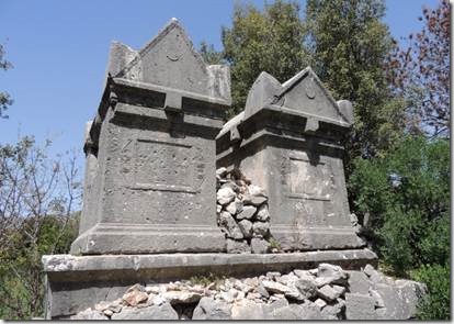
The site is interesting not only for its ruins, but for the fact that the lovely village of Dodurga has been built among the remains, charmingly reusing pillars and other ancient pieces in the villagers’ houses and other structures.  The site is virtually untouched and gives visitors the chance to see a Lycian site much like those seen by the first European explorers.

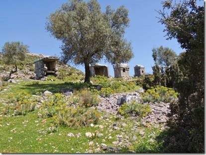
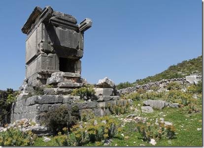
Not much is known about this site.  However, the form of the name -yma, is proof of its high antiquity.  There is evidence of settlement at least in the early classical period (including the ruin of a pillar tomb and a wall of ashlar and polygonal masonry) but most remains are from the Roman Imperial age.  Remains include numerous sarcophagi, impressive monumental tombs, a badly-preserved theatre, bath, stone, temple, church and others things.”

http://www.lycianturkey.com/lycian_sites/sidyma.htm


clip_image002

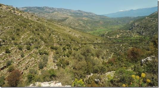
Driving to Sidyma on the squiggly line that is the road.

clip_image003

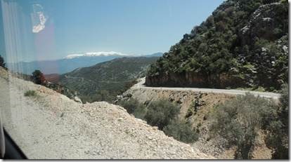
Not such a bad road….especially compared to driving around the mountains of Colorado.


clip_image004

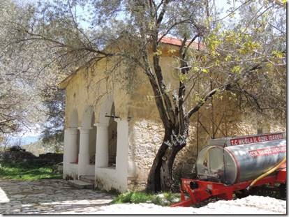
Sidyma mosque

clip_image005

The friendly lady next door…who Gwen just loves! invited us for tea.


clip_image006


clip_image007 clip_image008

Preparing tea

clip_image009

Tea and lovely spinach gὄzleme which was a wonderful snack as lunch wasn’t for another hour and it was already a good deal past noon.


clip_image010

Randal wearing his red leather Kapadokya hat


“Those living in Sidyma (Dodurga) are still very friendly, kind, gentle people (only about 80 people) and they would love to see more visitors.  Some of the young people that we met speak some English. The village is along the Lycian Way walk and the muhtar (village headman) who is also the imam, has told us that anyone may camp in the courtyard of the mosque if they wish.  In case of bad weather, seek him out for permission to sleep in the mosque – he speaks a little English and is a very kind man.  There isn’t a shop in Sidyma, but water can be found at the mosque.  Some of the people of the villagers sell carved wooden spoons of sandalwood (we bought some, they are inexpensive and very nice) and kilim articles woven in the village.  But don’t worry, they aren’t pushy.

Some of my friends recently returned from a camping trip to Sidyma and said that the people there were just wonderful, so friendly and helpful, and that they are the friendliest villagers they have met on their many camping/walking trips in the Turkish mountains (and most villagers in Turkey are very friendly).  The villagers brought them some food and invited them over for tea and the imam had them park their motorcycle at the mosque. My friends found an area near the necropolis to be an ideal camping spot and walked to the top of the hill behind the mosque where the views were spectacular.”

http://www.lycianturkey.com/lycian_sites/sidyma.htm

clip_image011

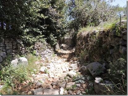
Walking the stone path to see the tombs….and just to go for a walk!


clip_image012


clip_image013


clip_image014


clip_image015


clip_image016


clip_image017

We headed back on a smoother road but soon Taṣ realized that it was the “long way’round.”

(Not sure if this was part of the Lycian Way or our stone path, but the “Way” takes you from Fethiye to Antalya about 510 kilometers or 356 miles.) 


clip_image018

So we crossed back over a dry stream bed.


clip_image019

Walked the path through the tall grass and returned to the village where most of our fellow travelers were waiting for us.  Only 4 of us had gone with Taṣ while the others took photos in the village and drank more tea.  Both were lovely choices.


clip_image020

Back on the road to Yediburunlar Lighthouse…which is not a lighthouse at all.


Xanthos

Merhaba

  One day I’ll finally finish writing up our trip to Cappadocia.  In the meantime here’s the story, in at least 2 parts of our Friday tour to Xanthos and the Lycian Way in Fethiye.  It was a beautiful day and we had some fun walking in the hills which is my favorite part.  I’ve included some links to info about Xanthos.  It’s one of those places that brings up the interesting question as to who owns antiquities: the country of origin or the country that has it now in a museum. 

Ru

Xanthos, the Lycian Way, and 7 Noses  Part 1……Xanthos

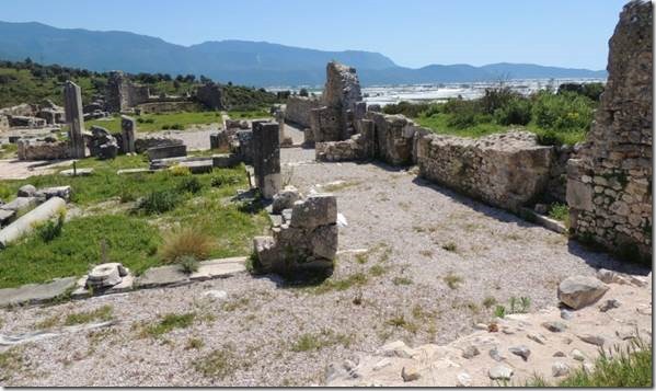
Randal and I had stopped at Xanthos in July of 2011 at the end of our motorbike trip to Konya.  It was early in the morning and the ticket office was closed so I just took a few photos and we left.  This trip we had a guided tour of the site and we also walked up the hill behind it to the Necropolis.  We didn’t make it to Latoon so that might be for another trip.

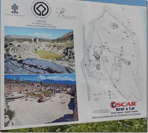
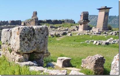
“Xanthos was the capital city of the Lycian Federation and its greatest city for most of Lycian history.  It was made famous to the Western world in the 19th century by its British discoverer Charles Fellows.  It is very old – finds date back to the 8th century BC, but it is possible that the site may have existed during the Bronze Age or during the first centuries of the Iron Age.   Xanthos and Letoon are often seen as a "double-site", since the two were closely linked and Letoon was administered by Xanthos.  Letoon was the sacred cult center of Lycia, located less than 10 km to the south of Xanthos.  Xanthos-Letoon is one of the most remarkable archaeological sites in Turkey. For this reason, it has been registered in the UNESCO World Heritage Sites list. Currently there is a French team excavating Xanthos and Letoon.”    http://www.lycianturkey.com/lycian_sites/xanthos.htm

http://whc.unesco.org/en/list/484  is the UNESCO World Heritage Site

clip_image001


   “The history of Xanthos is quite a violent – the Xanthosians twice demonstrated the fierce independence of the Lycian people when they chose to commit mass suicide rather than submit to invading forces.  The Xanthosian men set fire to their women, children, slaves and treasure upon the acropolis before making their final doomed attack upon the invading Persians.  Xanthos was later repopulated but the same gruesome story repeated itself in 42 BC when Brutus attacked the city during the Roman civil wars in order to recruit troops and raise money.  Brutus was shocked by the Lycians’ suicide and offered his soldiers a reward for each Xanthosian saved. Only 150 citizens were rescued.

We made our houses graves

And our graves are homes to us

Our houses burned down

And our graves were looted

We climbed to the summits

We went deep into the earth

We were drenched in water

They came and got us

They burned and destroyed us

They plundered us

And we,

For the sake of our mothers,

Our women,

And for the sake of our dead,

And we,

In the name of our honor,

And our freedom,

We, the people of this land,

Who sought mass suicide

We left a fire behind us,

Never to die out…

Poem found on a tablet in the Xanthos excavations, translated by Azra Erhat

Xanthos became the seat of an archbishopric in the 8th century, but was deserted during the first wave of Arab raids in the 7th century.

http://www.lycianturkey.com/lycian_sites/xanthos.htm

clip_image002

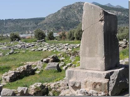
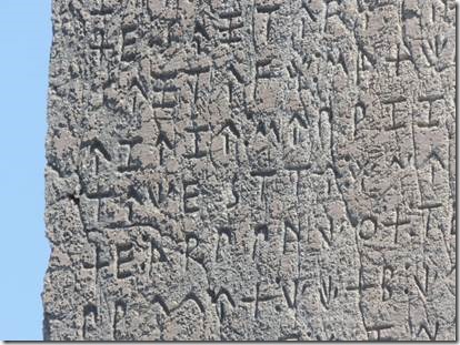
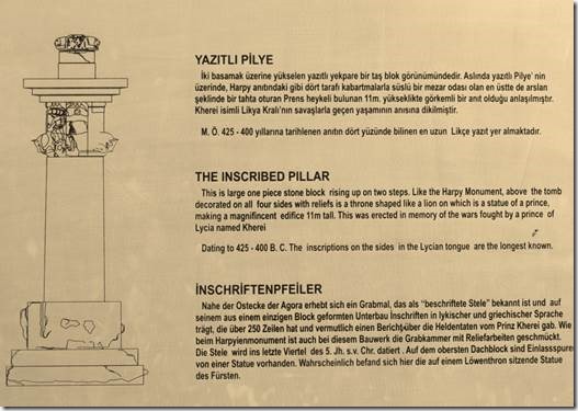
Inscribed Pillar

clip_image003

clip_image004


clip_image005

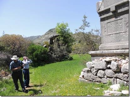
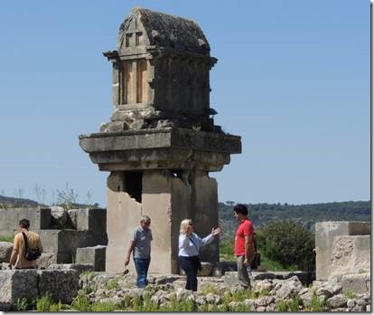
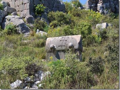
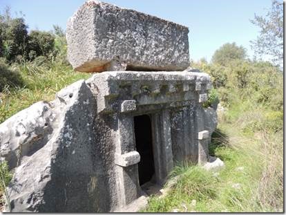
Pillar Tomb

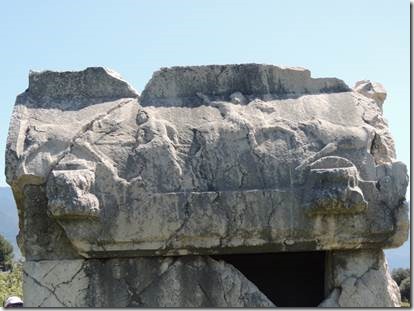
A completely unique tomb in Lycia, actually two-tombs-in-one – a normal Lycian sarcophagus stands upon a shorter-than-usual pillar tomb.  It is quite tall, only slightly shorter than the Harpy Tomb.  The date of this tomb is disputed, some sources say 4th century BC, other 3rd.  http://www.lycianturkey.com/lycian_sites/xanthos.htm


clip_image006

clip_image007


clip_image008

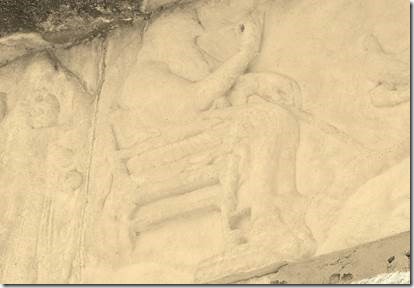
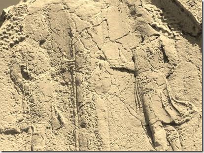
Clay copy of a relief on the Harpy Monument

Harpy Tomb"; it was previously believed that the winged women figures in the freize were harpies (monsters from Greek mythology with the head of a woman and the body of a bird).  It is now thought that these figures may depict sirens carrying off the souls of the dead.

http://www.lycianturkey.com/lycian_sites/xanthos.htm


clip_image009

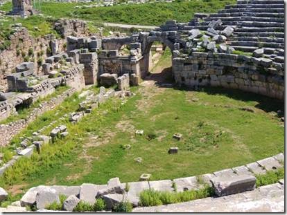
Amphitheatre

“Probably dates from the 2nd century AD and is thought to have been built in the same site as the earlier Hellenistic one.  Only the upper rows of the auditorium are missing, having been used as construction material for the northern wall of the acropolis.  The stage building is still partially standing and was once of two stories and decorated with columns. “ http://www.lycianturkey.com/lycian_sites/xanthos.htm


clip_image010

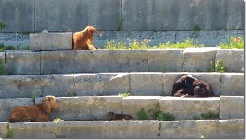
Goats and tiny baby goat (center bottom stair) sunning themselves in the amphitheater.


clip_image011

Acropolis No. 1

On the southwest corner, above the amphitheatre, probably constructed in the 4th century BC.  Ruins of a temple thought to be dedicated to Artemis are found here, as well as the foundations of a large structure consisting of many rooms, probably a palace that was destroyed by the Persian general Harpagus.  From here you get a great view of the entire valley and the Eşen River.


clip_image012


clip_image013


Necropolis 

Lies to the east of the second acropolis, many tombs and sarcophagi with interesting reliefs and lids

http://www.lycianturkey.com/lycian_sites/xanthos.htm

clip_image014

clip_image015

clip_image016

clip_image017

Taṣ with friend.

clip_image018

I walked up the road past the ruins to see what I could see


clip_image019

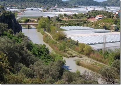
Esen River flowing by the hundreds of greenhouses.

clip_image020

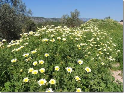
It was a beautiful time to visit Xanthos with all of the wildflowers blooming.


Soğanlı Valley

Merhaba,

    This is part one of our visit to Soğanlı Valley.  I’ve read blogs offering different explanations for the meaning of Soğanlı.  One says it mean onions (it does) which was then supposed to have caused a sultan who loved Tuips to name it Soğanlı  do not ask me why.  Another blog said Soğanlı was a variation on the word that means “last to be conquered” because it was between two steep cliffs.  Neither of my books talks explains the origin of the name.  Another question is the translation of Karabaş Kilisesi, one of the churches and why it was called that at all.  One does need to have a good library at hand!  

Ru

Ps  next email I wear the green hat!

Soğanlı Valley

  This was one of my favorite stops on our trip!  I really recommend it to anyone who hasn’t been to Cappadocia but might be planning a visit.

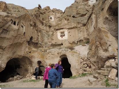
“Soğanlı Valleys of southern Cappadocia are great if you want to do some Cappadocian cave-church exploring off the beaten path.   Yes, the Göreme Valley has the best-preserved painted churches, but it’s also always busy with large groups. The Zelve Valley has wonderful weird volcanic topography, but it’s also crowded most of the time.    The Upper and Lower Soğanlı valleys of southern Cappadocia, about 36 km (22 miles) south of Mustafapaşa, are much less visited.   In the Soğanlı (soh-AHN-luh) valleys you may have the hiking trails, churches and weird dovecotes to yourself. You can have fun exploring on your own throughout several valleys, and really get off the beaten path.   Not only that, but there is a real traditional Turkish village at Soğanlı, with people living (mostly) as they have for centuries.

Tourism has intruded to the point where there are several serviceable restaurants, and local women hand-make "Soğanlı dolls" for the tourist trade, but Soğanlı is still a real Turkish place.

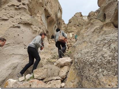
The Tokalı Kilise (Buckle Church) is up a steep, slippery, much-eroded stairway cut into the rock, on the right as you approach the village.    Clamber up at your own risk. The churches are badly ruined, but the climb is memorable.   The Gök Kilise (Sky-Blue Church) is to the left on the other side of the stream, indicated by a sign……..

In the northern valley, see the Karabaş Kilisesi (Black Head Church), next to the monks’ refectory, and the Yılanlı Kilise (Church with a Serpent) at the head of the valley.

Cross the valley near the Yilanli Kilise to reach the Kubbeli Kilise (Church with a Dome) and Saklı Kilise (Hidden Church). You’ll have recognized the cylindrical dome of the Kubbeli as you walked up the other side of the valley. The Hidden Church is indeed hidden: not in evidence until you approach it.

In the other valley, look for the Geyikli Kilise (Church with Deer), with another refectory (the Byzantine monks here lived alone, but shared meals together). The Tahtalı Kilise (Church with Doves), also called the Church of St Barbara, has some of the best-preserved decoration.

The dovecotes you see in and around Soğanlı were built by the monks to accommodate the pigeons valued for their guano (poop). Caves were hollowed behind rock faces, then small holes carved through the wall to admit the doves. The borders of the holes are painted white to attract the birds, but the facing around each hole is smooth so there is no place to alight. The birds enter the holes to find a lattice of sticks on which to perch. They sleep there, and defecate, and the monks collected their guano for use in fertilizing their grapevines, which produced sweet grapes for making wine.

Plan to spend at least 90 minutes (bare minimum) at Soğanlı, preferably three hours or half a day. The walking is enjoyable. This is not a place to run through and check off churches from a list, but rather a place to enjoy hiking and exploring on your own.

Bring water and snacks. Drinks and food are available in the restaurants as well”.

http://www.turkeytravelplanner.com/

clip_image001


clip_image002

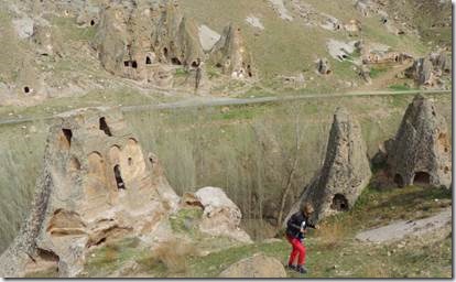
The white circles painted around the openings in the rock are the dovecotes mentioned above.


clip_image003


clip_image004 clip_image005

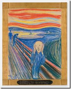
An alien version of  Edvard Munch’s The Scream


clip_image006

Karabaş Kilisesi (Black Head Church )

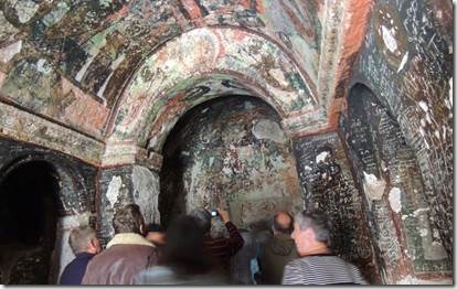
The Karabas Kilise is the first church that you reach after entering the Upper Soğanlı Valley. We assume that it got its nickname, the Black Head Church, due to the dark skin colors used in its frescoes, which are still mostly intact, but with definite signs of wear and some vandalism. In addition to the church, you can explore the adjacent caves where the monks and priests lived and worked.  http://www.virtualtourist.com/


clip_image007

Climbing up to the church

clip_image008


clip_image009

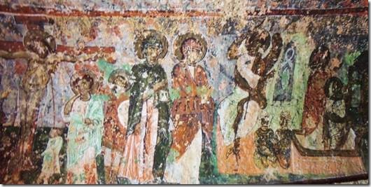
Black hat or halo for sure


clip_image010

“The Karabaṣi (Black Hat) …. Is covered in paintings showing the life of Christ, with Gabriel and various saints. A pigeon in the fresco reflects the importance of pigeons to the monks…”  lonely planet Turkey

Our guide Taṣ made a point of the “black faces” to indicate the acceptance of those with dark skins.  Fodor’s translates Karabaṣi as black hat but my dictionary translates bas as head.    I once read that some paints turn black with time so who knows if the color was even supposed to be black…

“The blackened faces of the images are a result of the oxidation of the natural elements in the paint material that was used. It was these “blackened heads” that led the church to being named Karabaṣ, “Black Head.”  It bears the inscription of 1060 as being the date of its construction.”

http://www.quiteguide.com/   is the site of a Turkish Tour Guide but I still don’t know the correct answer.

One could study a great deal about one little bit of one small place. 


clip_image011

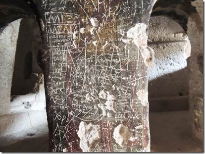
More recent additions of graffiti.


clip_image012

View from the church door to what must be the monks’ refectory.


clip_image013

Just outside the church looking across to the other side of the valley.


clip_image014


clip_image015clip_image016

Baby rhino related to Randal Rhino?   Cappadocia is a great place to let your imagination run wild.


clip_image017

The Soḡanli River separating the sides of the valley was narrow enough at one place for us to cross.


clip_image018

Taṣ said it was a tradition for families to plant poplar trees at the birth of a son. 


Derinkuyu underground city

Merhaba,

   At some point the last cloud over Marmaris  will fade away and the rain will stop for months.  But not yet.  Every day I write a bit about Cappadocia and in the evening I watch several episodes of West Wing.  My dreams are very strange.

Ru

Derinkuyu

“Spreading over a huge base of 15,000 square meters, the subterranean complex features 8 floors to a depth of 55 meters…. Scholarly studies suggest that the uppermost level had been excavated between 1750 and 2000 BC.”  Cappadocia by M. Ali Birant

.

“Some believe that Derinkuyu was first built around 800 BC by the Phrygians with others attributing the city’s origin to the Hittites who may have built this in 1000 BC or earlier.  As noted by David Wilcock, the city’s origins may be even earlier and related to the ancient Persian Zoroastrian tradition. Giorgio A. Tsoukalos  notes that in the ancient Zoroastrian Vendidad, legends exist of how Ahura-Mazda (the single ominipotent god of the Zoroastrians) instructed Yima to build an underground refuge very similar to that seen in  Derinkuyu.”    (This link has a 10 minute History Channel segment though it seems to want to connect the underground world to aliens……but the video part does show what the caves look like.)

http://www.kavehfarrokh.com/iranica/parthian-era/history-channel-program-derinkuyu-the-underground-city/

clip_image001

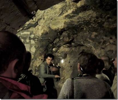
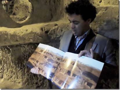
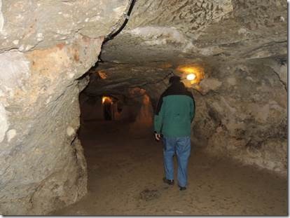
Our guide Taṣ leading us through the caves.

I thought it would bother me going underground in a country with active earthquakes,  but you really don’t think about it.


clip_image002

Taṣ showing us the layout of the caves.


clip_image003

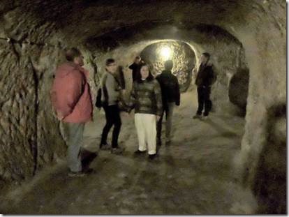
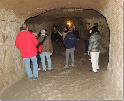
Most of the time there was headroom and often there were rooms large enough for small groups as this was a functioning underground city complete with stables for their animals.


clip_image004

This was about how bright it was and I can’t imagine living there for days.


clip_image005

This is with a flash


clip_image006

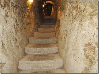
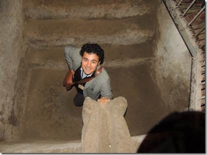
A stairway between levels


clip_image007

The stairways were tiny to prevent combat if invaders were coming in.  I had to walk bent over up and down these stairs.


clip_image008

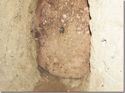
Huge round slabs could be rolled into place to prevent enemies from entering as somehow because of the narrowness of the passage they couldn’t be rolled back. 


clip_image009

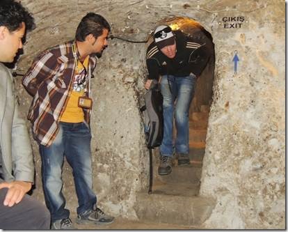
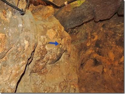
For those without guides there were blue arrows to follow so you could find your way out. 


clip_image010

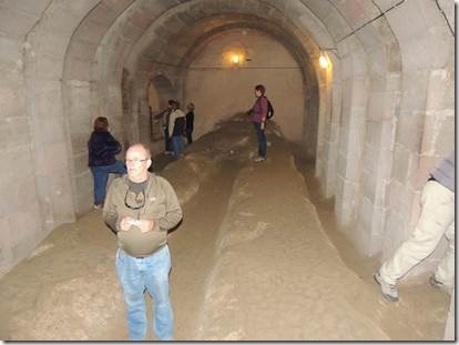
Randal walking along one of the wider passageways


clip_image011

This was a well and there were air shafts everywhere.  In the beginning of the History Channel they talk about the amazing engineering feat this was to allow enough air for more than 1,000 people and to leave enough stone to prevent collapse.  I think I remember Taṣ saying that water had to be carried in which would make sense so the enemy couldn’t just poison your well from above.


clip_image012

A dining room for the monks with student “cells” off to the sides.

This is also with a flash; it was mostly pretty dark in the caves.


clip_image013

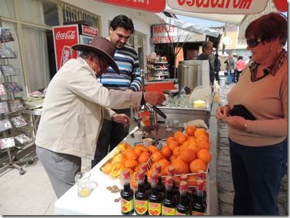
When we emerged from the caves everyone opted for some fresh squeezed orange juice!


clip_image014

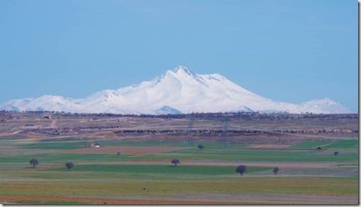
Driving to our next stop, Soḡanli Valley we passed the Taurus Mountain Peak in the distance.  Not sure if it’s Mount Hasan or Mount Ereiyes (ancient Mount Argaeus, 12,852 feet [3,917 metres]). 


I’m stopping here because I took dozens of photos at our next stop which just might be my favorite; Soḡanli Valley