Babakale

Anchored off Bodrum

iyi akşamlar  = good evening

   Tomorrow we’ll be in Marmaris.  Too many thoughts about that so I’ll just write about Babakale.  We only spent one night but it will be a favorite for all the reasons in the tourist blurb below.  I took too many photos but they will be some of the final ones of DoraMac’s passages.  With us.  Whoever her next owner will be, DoraMac  have many more passages. 

Ru

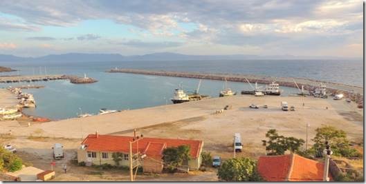
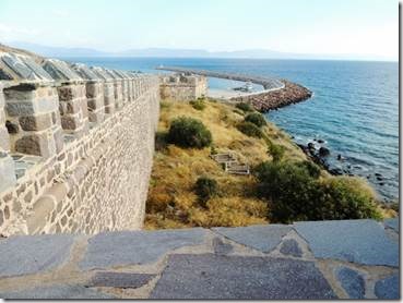
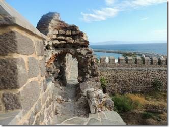
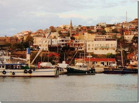
     Babakale is the furthest western most point on Turkey’s Asian mainland. When you enter from the north you see Babakale’s long beach. The village is located on a high rocky terrain, covered with olive and plane trees. The freshly restored castle looks as if it is new and the narrow streets running past old village houses lead to the Bababurnu Lighthouse, a site known to all seafarers in the region. The olive and plane trees are peaceful. The castle was built in 1723 and was the last fortress erected by the Ottomans and characteristic of that period. Among the historic sites that survived to our day are the castle, the public fountain and the mosque. On the border between the Marmara and the Aegean regions of Turkey the sunset is of extreme beauty. This end point of the mainland that once was a base of the Ottoman navies and frequented by pirates, has a hill smothered in the scent of thyme. You can come across rabbits, boars, partridges and quails in all seasons. Those who reside in this quiet town are worried over the building of Çanakkale bridge, a proposed crossing between Asia and Europe over the Dardanelles. In clear weather it is possible to see Bozcaada and the even the houses on the island of Midilli nine miles away. Ak Port on the seaside is the best location for swimming. The beach is of fine sand and the sea is shallow for one hundred metres out.

The village was known in the past to be a den of pirates. One day Sultan Ahmed III was sheltering there from a storm while on a boat voyage. The villagers surrounded him and made many complaints about the corsairs. The Sultan soon tired of the villagers’ complaints and ordered his vezir (Ottoman Prime Minister) İbrahim Pasha to deal with it. İbrahim Pasha in turn appointed his son in law, the Kaptan-ı Derya (Navy Commander) Mustafa Pasha, to deal with the matter. By issuing a ferman (Sultan’s decree) it was announced that prisoners from the four corners of the country would be freed if they agreed to work in Bababurnu. The prisoners, by working flat out, finished the castle. For the public fountain they had to carry water from five kilometres away by pipelines. When they started to build the port Mustafa Pasha was killed in the Patrona Halil uprising.

The construction resumed years later. The throwing of dry bread in the water when one leaves for a cruise or fishermen sail from the port is an old tradition. According to a story told by Piri Reis in his Kitab-ı Bahriye (a famed Ottoman captain and his book on the sea) when he died the non-hard bread eating seaman Latif Baba a was buried in the Babakale village and whenever the navy passed here they would throw a piece of dried bread into the waters in the direction of the grave to bring them luck. The famed Ottoman traveller Evliya Çelebi also mentioned praying for Latif Baba when passing here. Now this tradition is also picked up cruise passengers.

The village make a living based on olives, shoe and knife making. In recent years tourism has been added to its sources of income. Its knife making goes far back in history. There are families that have been making knives for six generations. The steel they take from cars is their material. The make handles from the loquat tree and the sheaths from the wood of poplar trees. The knives are functional and very sharp. But the numbers of those keeping up this traditional occupation are gradually decreasing.

As it is positioned at the crossing point between Marmara and the Aegean, according to the season you can get mackerel, bonito, bluefish and sea bream, as well as very nice calamary. You can sample fish in the village

Babakale  is 100 kms away from Canakkale city center.

http://www.canakkale.com.tr/Highlights/Babakale

clip_image001

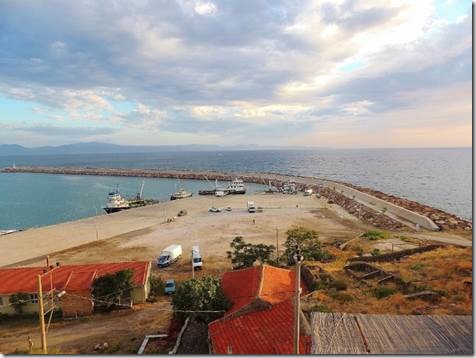
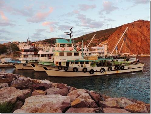
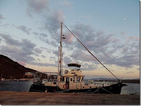
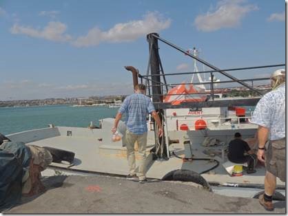
We were too big for the far side of the marina so were waved over to the fishing boat docks which were still fairly empty when we arrived just past 5 PM.  We secured the boat and then went off to visit the fortress and find some dinner.

clip_image002

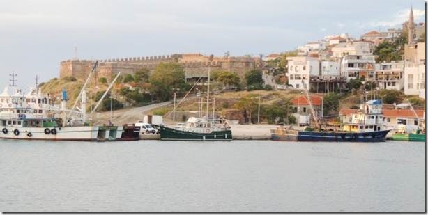
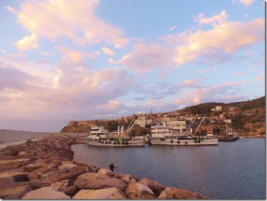
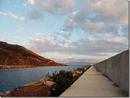
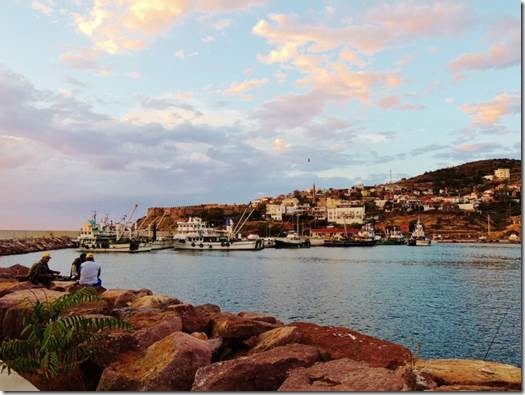
The fortress  and town  just steps away from Doramac taken after dinner when I walked to the lighthouse at the harbor entrance.

clip_image003

clip_image004

clip_image005clip_image006

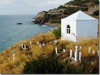
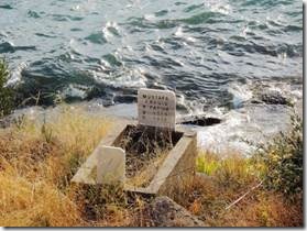
Below the fortress walls were head stones, one reading 1316 to 1970.  I think the first date is based on the Islamic Calendar


clip_image007

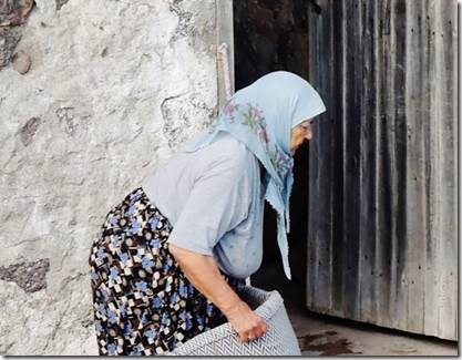
Looking down from the fortress I spied this woman.  She was dressed all in blue with lovely blue shoes to match.  I’m sure someone’s grandma.  Büyükanne = elder mother

clip_image008

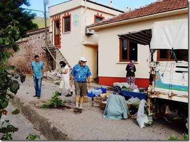
We bought some vegetables here and some strawberry jam from some ladies near the fortress.

clip_image009

clip_image010 clip_image011

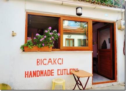
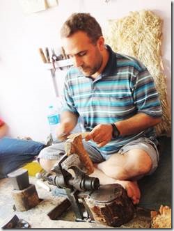
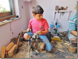
His grandfather made knives and his son is learning now.

clip_image012

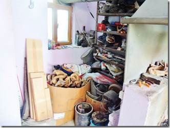
Animal horns for the handles

clip_image013

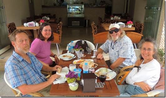
After dinner of grilled fish for Randal and me, calamari for Mary and a meatball dish for Rick we watched the fleet of fishing boats come into the harbor and hoped we’d not taken someones spot.

clip_image014

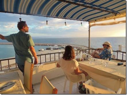
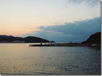
Looking down at the restaurant terrace next to ours and watching the sun begin to set.

clip_image015

After dinner I walked along the breakwater to the light house. 

clip_image016

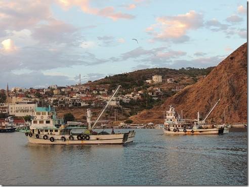
The fishing boat that came into the harbor all fit in next to each other.

clip_image017

Walking towards the harbor entrance and light

clip_image018

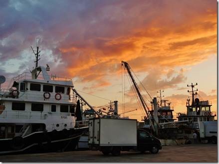
More fishing boats coming into Babakale and they all managed to fit around us.

Some came to unload their catch, some to take on ice and provisions.  Some took on fuel.  We just weren’t sure exactly what they were all doing.

clip_image019

clip_image020

clip_image021

clip_image022

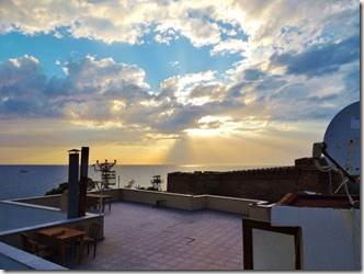
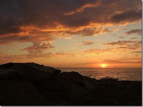
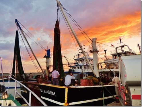
The sun was setting  over the sea at the foot of the fortress walls

clip_image023

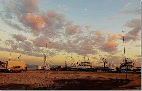
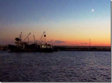
The moon was rising over the fishing fleet and DoraMac

clip_image024

clip_image025

clip_image026

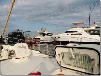
Our bow was right up to the stern of the fishing boat in front of us.

Passage to Marmaris 1

On our passage from Kuṣadasi towards an anchorage near Bodrum.

Merhaba,

   We have 70  miles to go and it’s not going to be the smoothest ride, but so it goes.  Nothing is rattling down below so that’s a good indicator.  The waves aren’t high but they’re close together so it makes for a bumpy ride.

    This email is part one of our passage to Marmaris from Istanbul.  Lots of fishing boat photos, but then I did grow up in New Bedford.

Ru

Passage to Marmaris : Through the Bosporus to the Sea of Marmara, the Dardanelles to the Aegean

I’m listening to the waves just outside the marina in Kuṣadasi and I’m glad we’re inside.  I’ve no idea their size but they sound big.  When you travel by boat, you make some decisions and the weather makes some decisions; the determining decisions actually.  It is Friday and we should be in Marmaris by Sunday or anchored very nearby.  Since leaving the high rent district of Istanbul we have anchored out one night; spent nights in two fishing villages, as well as the larger city of Çanakkale home of the Trojan Horse created for the terrible Brad Pitt movie Troy.   We are now in Kuṣadasi marina after an overnight passage and will spend the night before heading out tomorrow by 6 am.

The fishing villages I found charming though the karaoke in Silivri I definitely could have done without.  The noise of the fishing boats’ maintenance work through the night was much more tolerable.  Our one anchorage off of Marmara  Adasi   (Mamara Island)  was totally quiet and peaceful.  We even went swimming just to get off the boat for exercise.  My favorite stop was Babakale, the second fishing village because the sunset was brilliant.  Baba means father and kale is the word for fortress or castle.  I’m glad to find that I’ve not forgotten every word of Turkish I’ve learned, but most of the grammar has gone kaput.  But then grammar was never my strong suit.

clip_image001

Our night in Istanbul had us tied up across from the hardstand where boats were having repair work done.  We were on the visitor dock I suppose which did provide power and water.  We weren’t made to check in with the outrageously priced agent so that was kind of the marina.  We did go to the mall for a Turkish sim card for internet access essential for checking weather so an acceptable reason to go ashore without officially checking in.  We left in the morning.

Silivri is the birthplace of the physician Herodicus, the Father of Sports Medicine

     “Herodicus (fifth century BC: ) is the first person in the history of medicine who actually combined sports with medicine. He used to be a sports teacher, who later studied medicine and managed to succeed Euryphon in the medical school of Cnidos, one of the most prominent in ancient Greece together with its neighbor medical school of Cos (Hippocrates’ home). In Cnidos Herodicus formed his own theoretical perspective of medicine. He considered, namely, bad health to be the result of imbalance between diet and physical activity and for this reason he recommended strict diet, constant physical activity and regular training. He believed that this combination was the ideal way to maintain good standards of health and he applied this type of treatment method to his patients. Unfortunately, Herodicus’ works are lost today. However, excerpts of his medical system, which can be traced in ancient texts, support the fact that Herodicus can be considered as the father of sports medicine.”

http://www.ncbi.nlm.nih.gov/pubmed/16951976

     “Silivri is a city and a district in Istanbul Province along the Sea of Marmara in Turkey, outside metropolitan Istanbul, containing many holiday and weekend homes for residents of the city. The largest city in the district is also named Silivri.

      During the Fall of Constantinople in 1453, Silivri, along with Epibatos, stood up against the Ottoman armies, and surrendered only after the city had fallen. Selymbria extended out of the walls only during the Ottoman era, because the non-Muslim residents like Greeks, Armenians and Jews lived within the city walls, and the Turks built their houses outside the walls at the coast. While the non-Muslims were engaged mostly in growing grapes, vinification and silk production, the Turks earned their life by fishing and making yogurt. The town remained a summer resort during the Ottoman time, as it was during the Byzantine era.

     On the order of Suleiman the Magnificent, architect Mimar Sinan built 1562 a stone bridge with 33 arches just west of Silivri. The historical bridge, called "Uzunköprü" (The "Long Bridge"), is still in use today, however one arch is not visible due to sedimentation.

     Prior to World War I, some Silivrian Jews immigrated to the town of Camagüey, Cuba [1]. Russians occupied Silivri on February 5, 1878 for 1 month until 3 March 1878. Bulgarians occupied it on November 16, 1912 for 9 months until May 30, 1913.

     During the war, many more Sephardim in the city left as conditions worsened due to the war. Many of these Turkish Jews emigrated to the United States settling primarily in New York and Seattle. Others went to Palestine, France and South America.

     According to the Treaty of Sèvres, Silivri became a part of Greece on July 20, 1920. However, Italians took it over from the withdrawing Greek troops on October 22, 1922, according to the Armistice of Mudanya. Finally, Turkish forces entered Silivri on November 1, 1922. It was part of Çatalca province between 1923–1926 and was bounded to Istanbul Province in 1926. It was enlarged with joining of Gümüşyaka (formerly Eski Ereğli) village from Çorlu district. “  Wikipedia

clip_image002

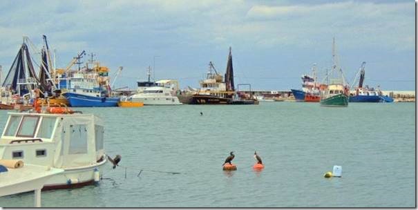
Silivri fishing fleet and cormorants fishing also with DoraMac plunk in the middle of the harbor.  The fishing boats just maneuvered around us. 

clip_image003

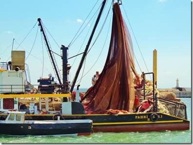
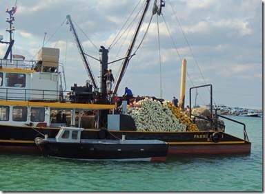
This fishing boat was just off our stern was my favorite subject as the men constantly pulled up and did something with the huge fishing nets until there was a huge pile. 

clip_image004

clip_image005

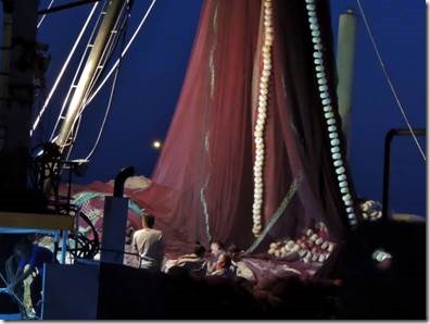
It looked like a giant gauzy tent with tassels or and octopus tentacle

clip_image006

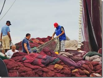
Working on the nets

clip_image007

See the huge pile of white balls that are the net’s edge

clip_image008

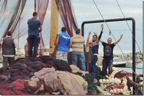
They noticed me taking photos and posed.

clip_image009

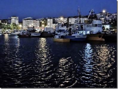
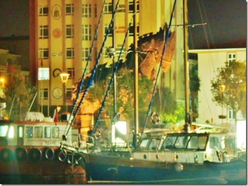
Looking back towards town at night.  One night was Turkish music from the Victory Day celebrations.  (The defeat of the Greeks at some point. But then lots of places we passed through celebrated the defeat of the Ottoman Empire in their history.)

clip_image010

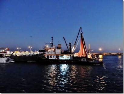
Night time looking out towards sea was lovely too.  Several of the boats set out at dark.  Squid fishing is night time fishing.  Huge lights are shone done on the water which attract the squid. 

clip_image011

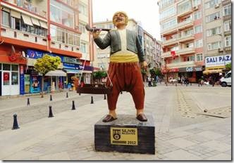
This statue was commemorating the city in 2012.

clip_image012

We weren’t anchored far off town so rather than mess with the dinghy motor, we  rowed to shore.  The second day one of the men from a boat tied to the fishermen’s dock told us to tie up to him and save ourselves the longer row to the public dinghy tie up down the way.   We then walked through his boat and through the boat he was rafted up to and then climbed ashore.  Here we’re returning to the dinghy through the two boats.  We were a funny sight with four of us filling our good size dinghy.  The oars are rather short and the waves were rather strong so we weren’t getting along so well.  Rick, at the oars was making a mighty effort, but by our second visit to shore I guess it was decided we needed a break so help was offered. 

clip_image013

Turkish lunch with complementary meze and bread while we waited for our order.

It was cool enough for long sleeves. 

clip_image014

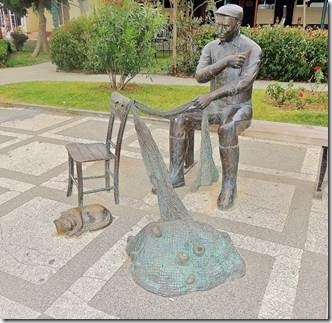
Symbols of Silivri; a fishermen mending nets and a cat.  We have found where there are fishermen, there are cats and the cats seem to eat well.  They sit patiently waiting and are almost always rewarded.

clip_image015

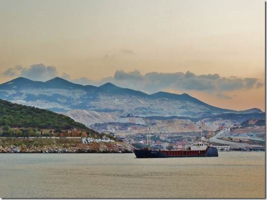
Mamara Adasi  island of marble and quarries

A tanker shared our anchorage.  There was also a beach with lots of families. 

     “Although quite small by world standards, this island is second largest island of island-poor Turkey. Its name comes from marmara in Greek (mermer in Turkish), which means “marble”, referring to the fact that island’s quarries have been used for marble extraction since ancient times. The island also gave its name to the Sea of Marmara by which it is surrounded. Island’s ancient name, on the other hand, was Prokonessos.

     Marmara Island has peculiarities unique to it in the archipelago. Firstly, it is large enough to sustain more than a couple of villages (it has four villages and two towns, all situated on its oval-shaped shoreline). It is also mountainous, with highest point reaching 709 meters at Ilyas Tepe. This mountainous geography does not allow for long beaches along the coastline. Unlike other islands in the archipelago, its large portions are covered with forests.

     Island’s capital town is also called Marmara (pop. 3-4,000), situated in SW coast of the island. Islanders make their living by fishing and agriculture, especially olive cultivation.”  http://wikitravel.org/en/Marmara_(island)

clip_image016

This was the other side of the bay we were in.  At night there was only quiet.

You should have seen me swimming.  There were small jelly fish in the water which at first put me off.  But my need for some exercise won out so I donned a light weight turtleneck fleece and some leggings and went swimming.  Actually it kept me from getting cold so worked quite well though must have looked odd.  The coast of Turkey is quite liberal so you don’t see any women in burkinis.

The great British burkini boom … and thanks to Nigella, it’s not just Muslim women buying them

By Helen Nugent    Published: 00:23 GMT, 10 February 2013  | Updated: 07:57 GMT, 11 February 2013
http://www.dailymail.co.uk    Of course Nigella has had her problems of late so maybe not such a fashion icon any more.  As Heidi Klum would say, “One day you’re in and the next, You’re out.”


clip_image017

The Trojan Horse in the plaza near the marina  seen from DoraMac at night

  We stopped in Çanakkale long enough to do the checking in formalities, find some dinner, not find a grocery store, fill the boat with water and rest up for our next day’s long passage to Babakale

The province of Canakkale lies on both sides of the Dardanelles which connects the Sea of Marmara to the Aegean Sea. Its shores touch both Europe (with the Gelibolu Peninsula) and Asia (with the Biga Peninsula) and there are regular ferries between the two sides.

     The Canakkale Marina, besides those of Karabiga, Gelibolu, Bozcaada and Kucukkuyu, hosts the colorful yachts which pass through the strait and make a stopover at Canakkale, to see this historical and mythological rich area, homeland of many widely known legends.

http://www.allaboutturkey.com/canakkale.htm