Cheers,
I was really tired when I sent out the most recent email and even forgot I’d sent it. So today I “finished it” before I realized I’d sent the “first edition.” This one is a follow-up about the Thames Barrier because I thought it was really interesting. And a web address for SKD if you want to see what’s what here.
Today we visited the London City Museum and Dr. Johnson’s home. You could spend days in the London City Museum and hours at Dr. Johnson’s home. In between we ate our picnic lunch on the steps of St. Paul’s Cathedral.
Ru
St. Katherine’s Dock SKD in London
“St Katharine Docks is London’s premiere luxury yacht Marina, situated right in the heart of the financial district, next to Tower Bridge and The Tower of London.”
http://www.skdocks.co.uk/marina/
That may be true but we’re still living on the same boat we lived on parked in the river at the boat yard in China just down from the cement plant and the largest MSG plant in the world!
|
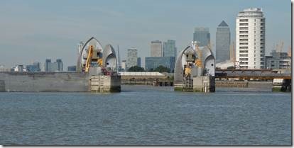
Thames River Barrier Gate G |
|
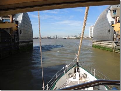
About to go through as we had the Green Arrows and not the Red X |
|
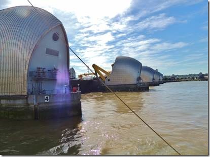
Looking back to the Thames River Barrier and the different gates “The Thames Barrier is one of the largest movable flood barriers in the world. The Environment Agency runs and maintains the Thames Barrier as well as the capital’s other flood defenses. The barrier spans 520 metres across the River Thames near Woolwich, and it protects 125 square kilometres of central London from flooding caused by tidal surges. It became operational in 1982 and has 10 steel gates that can be raised into position across the River Thames. When raised, the main gates stand as high as a five-story building and as wide as the opening of Tower Bridge. Each main gate weighs 3,300 tonnes.” http://www.environment-agency.gov.uk/homeandleisure/floods/38353.aspx
The Thames Estuary is particularly vulnerable to flooding for a number of reasons. The South-eastern corner of the British Isles is slowly tilting downwards and sea levels are rising. As a result, the high tide in central London is rising at a possible rate of 75cm per century. There is another more compelling reason. When an area of low pressure – perhaps hundreds of miles across – moves eastwards across the Atlantic towards the British Isles, it raises the level of seawater beneath it by up to a third of a metre. If this ‘plateau’ of sea water passes north of Scotland and then down into the shallow basin of the North Sea, perhaps further heightened by strong winds from the north, it can cause excessively high surge tides in the Thames Estuary of up to four metres leading towards London. When a surge tide also coincides with a spring tide (which occur twice monthly), flooding would be a serious possibility. The problem is made much worse when floodwater from upstream meets a high surge tide coming up from the Thames Estuary. Teddington Weir is where the Thames becomes tidal. On a typical summer’s day about 3,000 million litres of fresh water will pass over it. On a typical winter’s day the quantity will be at least four times greater, and sometimes eight times. In the winter of 1947, the peak flow at Teddington was 61,698 million litres a day. This flow was nearly three times that of a typical winter’s day and more than 20 times that of a typical summer’s day. http://www.environment-agency.gov.uk/homeandleisure/floods/38351.aspx |


