B Dock Netsel Marina
Marmaris, Turkey
Merhaba,
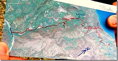
Sending photos has been an issue lately. Very frustrating. I’ve divided up Day 2 of our hike into 2 parts. And I’ve saved our visit to Old Datҫa for the final email of this story. We met for our huge hotel breakfast at 9 am. Eggs, cheese, bread, börek, and more. Should have been able to walk back to Marmaris on that food. The hotel packed us a lunch to go. We checked out from the hotel, loaded the car and went off to hike the other side of the peninsula which overlooks the Aegean.
Ru
DoraMac
|
This hike was an out and back. It was shorter but perhaps steeper. Or maybe my legs were just tired from the 8 miles the day before. Legs, lungs, everything! The peninsula – between 15 kilometers and 500 meters wide and with the highest point, being the 1.162 meter high Kocabağ mountain, which at times rises steeply up from both the Agean and Mediterranean sea – extends approximately a hundred kilometers from Marmaris in a westerly direction until Knidos. Besides this important excavation site there are further such sites on the eastern side of Datça itself and below the village of Emecik. Those who go hiking and look closely, can discover little known historic settlements and cultural sites from the Carian and Mycenian cultures through to the Knidian and Roman and up until the Byzantine times. “The Turkish settlement of the peninsula probably began from the sea during the time of the Seljuks”, wrote the specialist in Middle Eastern and oriental studies Horst Unbehaun. According to his analysis the Roman name Stadia for the Dorian city of Knidos changed to Dadya in Ottoman times, out of which emerged the name Datça in the 1930’s. |
|
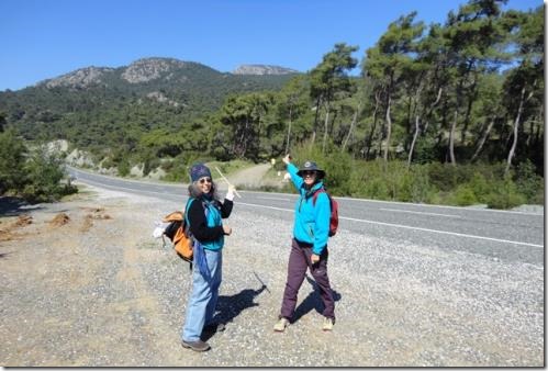
Michael’s photo Here we are pointing the way. And very color coordinated I must say. I can’t really balance my way across the rocky streambeds so had picked up a light stick the first day. There was a brisk chilly breeze, but it definitely warmed up as we walked up. |
|
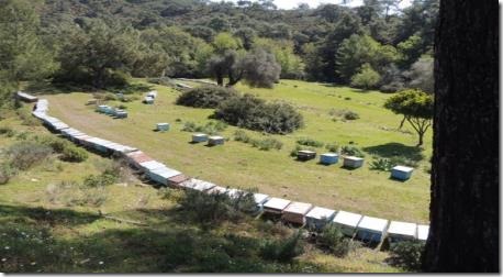
John has explored many of the hiking trails in the area and had chosen the routes. A few days prior to the hikes, he had driven to Datҫa to check the routes for bees and rushing streams which can be a problem this time of year. |
|
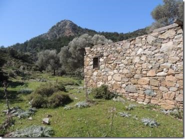
An abandoned stone house in a lovely setting. Very reminiscent of the area around Karpaz on North Cyprus. |
|
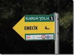
A sign post indicating the route was part of the Karia Yolu or Carian Trail. |
|
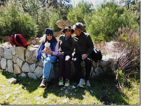
My camera, John the photographer. Abandoned stone fountains and plantersin what looked like a planned garden area made a great resting place. We all managed to have some snack too though it was less than two hours since breakfast. |

